Lune Drive
Lune Drive is a bus stop in Clayton-le-Woods, Chorley District, England. Lune Drive is situated nearby to Lancaster Lane Community Primary School, as well as near Children’s playground.| Tap on a place to explore it |
Places of Interest Nearby
Highlights include Leyland railway station and Church of St Ambrose.
Leyland railway station
Railway station
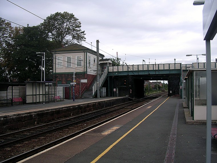
Photo: Terry Whalebone, CC BY 2.0.
Leyland railway station serves the town of Leyland in Lancashire, England. It was formerly "Golden Hill", the name of the street and area in which the station is based, but was renamed Leyland soon after opening. Leyland railway station is situated 1 mile west of Lune Drive.
Church of St Ambrose
Church

Photo: Gammock, CC BY-SA 4.0.
Church of St Ambrose is situated 4,100 feet west of Lune Drive.
Cuerden Hall
Building

Photo: GlynJames7, CC BY-SA 3.0.
Cuerden Hall is a country mansion in the village of Cuerden near Preston, Lancashire, England. It is a Grade II* listed building. The hall was formerly a family home between 1717 and 1906, and used by the Army until the 1960s. Cuerden Hall is situated 1 mile north of Lune Drive.
Places in the Area
Nearby places include Whittle-le-Woods and Leyland.
Whittle-le-Woods
Village

Photo: Wikimedia, CC BY-SA 2.0.
Whittle-le-Woods is a village and civil parish of the Borough of Chorley in Lancashire, England. The population of the civil parish at the 2011 census was 5,434.
Leyland
Town

Photo: Terry Whalebone, CC BY 2.0.
Preston is a city in the county of Lancashire in North West England, with a population in 2021 of 148,000. It's a former textile and engineering town; it still makes aircraft, hosts the county local government, and has a university.
Clayton Brook
Village

Photo: Paul Glenville, CC BY-SA 2.0.
Clayton Brook is a large residential estate in Lancashire, between the city of Preston and the town of Chorley. It forms part of the Clayton-le-Woods civil parish, and is in the Clayton-le-Woods North ward of the borough of Chorley. Clayton Brook is situated 1½ miles northeast of Lune Drive.
Lune Drive
- Type: Bus stop
- Category: transportation
- Location: Clayton-le-Woods, Chorley District, Lancashire, North West England, England, United Kingdom, Britain and Ireland, Europe
- View on OpenStreetMap
Latitude
53.6976° or 53° 41′ 51″ northLongitude
-2.66435° or 2° 39′ 52″ westOpen location code
9C5VM8XP+27OpenStreetMap ID
node 6732230891OpenStreetMap feature
highway=bus_stopOpenStreetMap feature
public_transport=platform
This page is based on OpenStreetMap, Wikidata, and Wikimedia Commons.
We’d love your help improving our open data sources. Thank you for contributing.
Satellite Map
Discover Lune Drive from above in high-definition satellite imagery.
Notable Places Nearby
Highlights include Lancaster Lane Community Primary School and Children’s playground.
Nearby Places
Explore places such as Lune Drive and Gold Standard Foot Care.
Lancashire: Must-Visit Destinations
Delve into Blackpool, Blackburn, Preston, and Lancaster.
Curious Bus Stops to Discover
Uncover intriguing bus stops from every corner of the globe.
About Mapcarta. Data © OpenStreetMap contributors and available under the Open Database License". Text is available under the CC BY-SA 4.0 license, except for photos, directions, and the map. Photo: matthewhartley369, CC BY-SA 2.0.