Slag and Coke
Slag and Coke is a factory in Nameoki Township, Madison, Illinois which is located on Old Nickel Plate Road. Slag and Coke is situated nearby to Temple Baptist Church, as well as near the hamlet Madison.| Tap on a place to explore it |
Places of Interest Nearby
Highlights include Gateway Regional Medical Center and Horseshoe Lake State Park.
Gateway Regional Medical Center
Hospital
Gateway Regional Medical Center is an American hospital in Granite City, Illinois. It contains 305 licensed beds, 100 of which are for treatment of acute mental illness in the behavioral health unit. Gateway Regional Medical Center is situated 1¼ miles north of Slag and Coke.
Horseshoe Lake State Park
Nature reserve

Photo: Trailnet, CC BY-SA 2.0.
Horseshoe Lake State Park is an Illinois state park in Madison County, Illinois, United States. It is approximately 2,960 acres and surrounds a large horseshoe-shaped lake called Horseshoe Lake. Horseshoe Lake State Park is situated 2½ miles east of Slag and Coke.
Places in the Area
Nearby places include Madison and Granite City.
Madison
Hamlet

Photo: Paul Sableman, CC BY 2.0.
Madison is a city in Madison and St. Clair counties in the U.S. state of Illinois. It is also a suburb of St. Louis. The population was 3,171 at the 2020 census, down from 3,891 in 2010.
Granite City
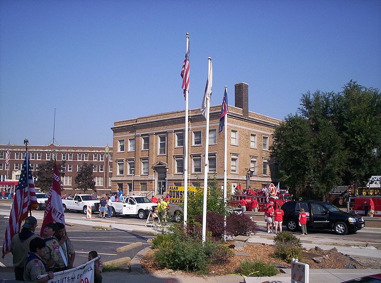
Photo: Catching12, CC BY 3.0.
Granite City is a city in Madison County, Illinois, United States, within the Greater St. Louis metropolitan area. The population was 27,549 at the 2020 census, making it the third-largest city in the Metro East and Southern Illinois regions, behind Belleville and O'Fallon.
Venice
Village
Venice is a city in Madison County, Illinois, United States. The population was 1,498 at the 2020 census, down from 1,890 in 2010. Venice is situated 2 miles west of Slag and Coke.
Slag and Coke
- Type: Factory
- Address: 2915 Old Nickel Plate Road, Madison, IL 62060
- Category: industry
- Location: Nameoki Township, Madison, Illinois, Midwest, United States, North America
- View on OpenStreetMap
Latitude
38.68197° or 38° 40′ 55″ northLongitude
-90.13699° or 90° 8′ 13″ westOpen location code
86CFMVJ7+Q6OpenStreetMap ID
node 6772257324OpenStreetMap feature
man_made=works
This page is based on OpenStreetMap, Wikidata, and Wikimedia Commons.
We’d love your help improving our open data sources. Thank you for contributing.
Satellite Map
Discover Slag and Coke from above in high-definition satellite imagery.
Notable Places Nearby
Highlights include Temple Baptist Church and Tri-City Park Tabernacle.
Nearby Places
Explore places such as Fall Protection Systems and Granite City Slag.
Illinois: Must-Visit Destinations
Delve into Chicago, Springfield, Rockford, and Loop.
Curious Factories to Discover
Uncover intriguing factories from every corner of the globe.
About Mapcarta. Data © OpenStreetMap contributors and available under the Open Database License". Text is available under the CC BY-SA 4.0 license, except for photos, directions, and the map. Photo: Rastapopulous, CC BY-SA 3.0.