Sentiero Sant’Anna
Sentiero Sant’Anna is in La Morra, Province of Cuneo, Piedmont. Sentiero Sant’Anna is situated nearby to the sports venue L’Oasi Sportiva, as well as near Pilone San Sebastiano.| Tap on a place to explore it |
Places of Interest Nearby
Highlights include San Martino (La Morra) and San Rocco (La Morra).
San Martino (La Morra)
Church

Photo: Superchilum, CC BY-SA 4.0.
San Martino (La Morra) is a church, which is situated 1¼ km southeast of Sentiero Sant’Anna.
San Rocco (La Morra)
Church

Photo: Rufus46, CC BY-SA 3.0.
San Rocco (La Morra) is a church, which is situated 1¼ km southeast of Sentiero Sant’Anna.
San Sebastiano
Church

Photo: Superchilum, CC BY-SA 4.0.
San Sebastiano is a church, which is situated 1¼ km southeast of Sentiero Sant’Anna.
Places in the Area
Nearby places include Barolo and Pollentia.
Barolo

Photo: Wikimedia, CC BY-SA 3.0.
Barolo is a small town in the Piedmont region of north west Italy. It is part of the larger Langhe wine growing region. It is world famous for the red wines made there from the nebbiolo grape.
Pollentia
Village
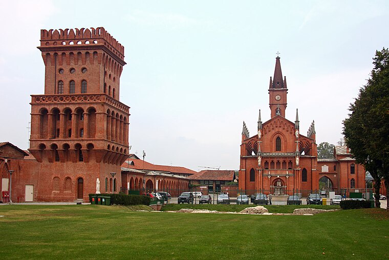
Photo: Awd, CC BY-SA 3.0.
Pollentia, known today as Pollenzo, was an ancient city on the left bank of the Tanaro. It is now a frazione of Bra in the Province of Cuneo, Piedmont, northern Italy. Pollentia is situated 5 km northwest of Sentiero Sant’Anna.
Bra

Photo: Wikimedia, CC BY-SA 3.0.
Bra is a town of 30,000 people in Piedmont. It is a culinary destination, home to the Slow Food movement and the University of Gastronomic Sciences, so you are guaranteed to eat and drink well.
Sentiero Sant’Anna
- Type: Sign
- Categories: information and tourism
- Location: La Morra, Province of Cuneo, Langhe, Piedmont, Northwest Italy, Italy, Europe
- View on OpenStreetMap
Latitude
44.64566° or 44° 38′ 44″ northLongitude
7.92431° or 7° 55′ 28″ eastElevation
488 metres (1,601 feet)Open location code
8FP9JWWF+7POpenStreetMap ID
node 6932092310OpenStreetMap feature
tourism=information
This page is based on OpenStreetMap, Wikidata, and Wikimedia Commons.
We’d love your help improving our open data sources. Thank you for contributing.
Satellite Map
Discover Sentiero Sant’Anna from above in high-definition satellite imagery.
Notable Places Nearby
Highlights include L’Oasi Sportiva and Pilone San Sebastiano.
Nearby Places
Explore places such as Simane and Giovanni Voerzio.
Curious Places to Discover
Uncover intriguing places from every corner of the globe.
About Mapcarta. Data © OpenStreetMap contributors and available under the Open Database License". Text is available under the CC BY-SA 4.0 license, except for photos, directions, and the map. Photo: Helge Høifødt, CC BY-SA 3.0.