Lomas De La Isabel
Lomas De La Isabel is a peak in Antioquia, Andino. Lomas De La Isabel is situated nearby to the locality El Teohuello, as well as near La Ursula.| Tap on a place to explore it |
Places in the Area
Nearby places include Santa Bárbara.
Santa Bárbara
Town
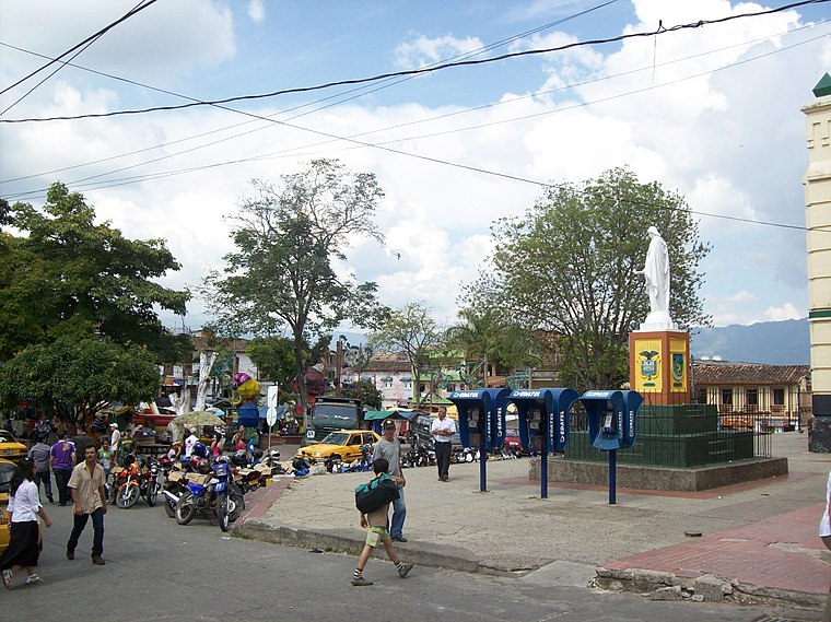
Photo: XalD, CC BY-SA 3.0.
Santa Bárbara is a town and municipality in the Colombian department of Antioquia. Part of the subregion of Southwestern Antioquia. Santa Barbara is located in a valley about 2.5 hours drive from Medellín by car or bus.
Lomas De La Isabel
- Type: Peak
- Category: landform
- Location: Antioquia, Andino, Colombia, South America
- View on OpenStreetMap
Latitude
5.8721° or 5° 52′ 20″ northLongitude
-75.6052° or 75° 36′ 19″ westOpen location code
67Q6V9CV+RWOpenStreetMap ID
node 703176750OpenStreetMap feature
natural=peak
This page is based on OpenStreetMap, Wikidata, and Wikimedia Commons.
We’d love your help improving our open data sources. Thank you for contributing.
Satellite Map
Discover Lomas De La Isabel from above in high-definition satellite imagery.
Localities in the Area
Explore places such as El Teohuello and La Ursula.
Notable Places Nearby
Highlights include Alcaldia Santa Barbara and Alcaldía Municipal de Santa Bárbara.
Antioquia: Must-Visit Destinations
Delve into Medellín, Santa Fe de Antioquia, Guatape, and Jardín.
Curious Peaks to Discover
Uncover intriguing peaks from every corner of the globe.
About Mapcarta. Data © OpenStreetMap contributors and available under the Open Database License". Text is available under the CC BY-SA 4.0 license, except for photos, directions, and the map. Photo: jhoudayer, CC BY-SA 2.0.