Camping Plus
Camping Plus is an office in Logan City, Queensland. Camping Plus is situated nearby to the health club Stepz Fitness, as well as near Fitness Cartel.| Tap on a place to explore it |
Places of Interest Nearby
Highlights include Holmview railway station and Trinity College.
Holmview railway station
Railway station

Photo: TravellerQLD, CC BY-SA 3.0.
Holmview railway station is a park and ride suburban railway station in Queensland, Australia on the Beenleigh line. Despite the name, it is one of two stations serving the Logan City suburb of Beenleigh, the other being Beenleigh station. Holmview railway station is situated 620 metres northwest of Camping Plus.
Trinity College
School
Trinity College is an independent, Roman Catholic, co-educational secondary school located in Beenleigh, Queensland, Australia. It is administered by Brisbane Catholic Education and is a constituent school of the Queensland Catholic Education Commission. Trinity College is situated 750 metres northeast of Camping Plus.
Beenleigh railway station
Railway station
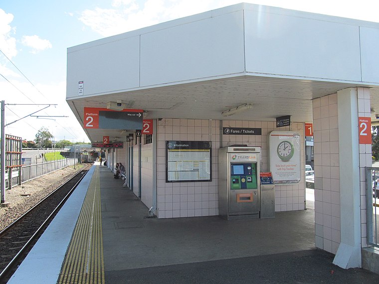
Photo: Orderinchaos, CC BY-SA 3.0.
Beenleigh railway station is located on the Beenleigh line in Queensland, Australia. It is one of two stations serving the suburb of Beenleigh in City of Logan, the other being Holmview. Beenleigh railway station is situated 1¼ km east of Camping Plus.
Places in the Area
Nearby places include Beenleigh and Holmview.
Beenleigh
Suburb
Beenleigh is a town and suburb in the City of Logan, Queensland, Australia. In the 2021 census, the suburb of Beenleigh had a population of 8,425 people.
Holmview
Suburb
Holmview is a residential suburb in the City of Logan, Queensland, Australia. In the 2021 census, Holmview had a population of 4,455 people.
Bahrs Scrub
Neighborhood
Bahrs Scrub is an urban locality in the City of Logan, Queensland, Australia. In the 2021 census, Bahrs Scrub had a population of 4,508 people. Bahrs Scrub is situated 3 km southwest of Camping Plus.
Camping Plus
- Type: Office
- Wheelchair access: yes
- Location: Logan City, Queensland, Australia, Oceania
- View on OpenStreetMap
Latitude
-27.71404° or 27° 42′ 51″ southLongitude
153.19141° or 153° 11′ 29″ eastOpen location code
5R4M75PR+9HOpenStreetMap ID
node 7120934229OpenStreetMap feature
office=campingOpenStreetMap attribute
wheelchair=yes
This page is based on OpenStreetMap, Wikidata, and Wikimedia Commons.
We’d love your help improving our open data sources. Thank you for contributing.
Satellite Map
Discover Camping Plus from above in high-definition satellite imagery.
Places with the Same Name
Discover other places named “Camping Plus”.
Notable Places Nearby
Highlights include Stepz Fitness and Fitness Cartel.
Nearby Places
Explore places such as The Pet Place and Beenleigh Auto & Marine Electrics.
Queensland: Must-Visit Destinations
Delve into Brisbane, Gold Coast, Sunshine Coast, and Cairns.
Curious Offices to Discover
Uncover intriguing offices from every corner of the globe.
About Mapcarta. Data © OpenStreetMap contributors and available under the Open Database License". Text is available under the CC BY-SA 4.0 license, except for photos, directions, and the map. Photo: Shiftchange, CC0.