St Fagans
St Fagans is a level crossing in St Fagans, Cardiff, Wales. St Fagans is situated nearby to Saint Fagans Park, as well as near the sports venue Saint Fagans Tennis Club.| Tap on a place to explore it |
Places of Interest Nearby
Highlights include St Fagans National Museum of History and Dovecote in gardens of St Fagans Castle.
St Fagans National Museum of History
Park
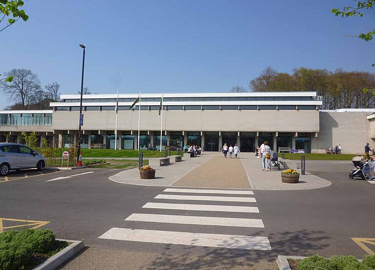
Photo: Sionk, CC BY-SA 4.0.
St Fagans National Museum of History, commonly referred to as St Fagans after the village where it is located, is an open-air museum in St Fagans, Cardiff, Wales, chronicling the historical lifestyle, culture, and architecture of the Welsh people. St Fagans National Museum of History is situated 1,500 feet northwest of St Fagans.
Dovecote in gardens of St Fagans Castle
Historic building

Photo: David Hallam-Jones, CC BY-SA 2.0.
Dovecote in gardens of St Fagans Castle is a historic building, which is situated 1,200 feet north of St Fagans.
Pen-Rhiw Unitarian Chapel
Museum

Photo: Wikimedia, CC BY-SA 2.0.
Pen-Rhiw Unitarian Chapel is a museum, which is situated 1,400 feet northwest of St Fagans.
Places in the Area
Nearby places include Ely and St Georges-super-Ely.
Ely
Suburb

Photo: Tony Hodge, CC BY-SA 2.0.
Ely is a district and community in Cardiff, Wales. It is to the north of Cowbridge Road West. Caerau defines the boundary to the south as does the River Ely to the east and in part to the north.
St Georges-super-Ely
Hamlet

Photo: Christopher Ware, CC BY-SA 2.0.
St Georges-super-Ely, also known as St Georges, is a small village and community in the western outskirts of Cardiff, in the Vale of Glamorgan, South Wales.
St Brides-super-Ely
Hamlet

Photo: Alan Hughes, CC BY-SA 2.0.
St Brides-super-Ely is a village and district of the community of St Georges-super-Ely, within the Vale of Glamorgan in South Wales. It is located near the western border of the Welsh capital city of Cardiff, to the west of the A4232, and north of the River Ely.
St Fagans
- Type: Level crossing
- Category: transportation
- Location: St Fagans, Cardiff, Wales, United Kingdom, Britain and Ireland, Europe
- View on OpenStreetMap
Latitude
51.48454° or 51° 29′ 4″ northLongitude
-3.26968° or 3° 16′ 11″ westOpen location code
9C3RFPMJ+R4OpenStreetMap ID
node 713813028OpenStreetMap feature
railway=level_crossing
This page is based on OpenStreetMap, Wikidata, and Wikimedia Commons.
We’d love your help improving our open data sources. Thank you for contributing.
Satellite Map
Discover St Fagans from above in high-definition satellite imagery.
In Other Languages
“St Fagans” goes by many names.
- Welsh: “Sain Ffagan”
Places with the Same Name
Discover other places named “St Fagans”.
Notable Places Nearby
Highlights include Saint Fagans Park and St Fagans Bridge.
Nearby Places
Explore places such as St Fagans and The Battle of Saint Fagans.
Wales: Must-Visit Destinations
Delve into Swansea, Llanfairpwllgwyngyll, Newport, and Bangor.
Curious Level Crossings to Discover
Uncover intriguing level crossings from every corner of the globe.
About Mapcarta. Data © OpenStreetMap contributors and available under the Open Database License". Text is available under the CC BY-SA 4.0 license, except for photos, directions, and the map. Photo: Gordon Plant, CC BY 2.0.