Littlebrook Avenue
Littlebrook Avenue is a bus stop in Borough of Slough, England. Littlebrook Avenue is situated nearby to the church Our Lady of Peace, as well as near the nature reserve Haymill Valley.| Tap on a place to explore it |
Places of Interest Nearby
Highlights include Haymill Valley and Burnham railway station.
Haymill Valley
Nature reserve

Photo: Dudley Miles, CC BY-SA 4.0.
Haymill Valley is a 7.8-hectare Local Nature Reserve in Slough in Berkshire. It is owned by Slough Borough Council and managed by the Berkshire, Buckinghamshire and Oxfordshire Wildlife Trust. The site is known locally as The Millie.
Burnham railway station
Railway station
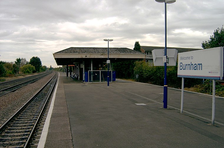
Photo: Cuzza, Public domain.
Burnham railway station is a railway station serving Burnham, Buckinghamshire, England, 20 miles 77 chains from London Paddington and situated between Slough to the east and Taplow to the west. Burnham railway station is situated 2,500 feet south of Littlebrook Avenue.
Burnham Grammar School
School
Burnham Grammar School is a co-educational grammar school in Burnham, Buckinghamshire. In October 2011 the school became an academy. It takes students aged 11–18, with approximately 1250 on roll. Burnham Grammar School is situated 1,400 feet northwest of Littlebrook Avenue.
Places in the Area
Nearby places include Burnham and Britwell.
Burnham
Village

Photo: Kevin White, CC BY-SA 2.0.
Burnham is a large village and civil parish that lies north of the River Thames in Buckinghamshire, between the towns of Maidenhead and Slough, about 24 miles west of Charing Cross, London.
Britwell
Suburb

Photo: Andrew Smith, CC BY-SA 2.0.
Britwell is a residential housing estate and civil parish in the north west of Slough, Berkshire, South East England. It is about 23 miles west of Charing Cross, the centremost point of London.
Cippenham
Suburb

Photo: Nigel Cox, CC BY-SA 2.0.
Cippenham is a suburb of Slough. Close by are the neighbouring towns and villages of Beaconsfield, Farnham Common, Burnham, Gerrards Cross, Stoke Poges, Windsor and Taplow.
Littlebrook Avenue
- Type: Bus stop
- Category: transportation
- Location: Borough of Slough, England, United Kingdom, Britain and Ireland, Europe
- View on OpenStreetMap
Latitude
51.53007° or 51° 31′ 48″ northLongitude
-0.64533° or 0° 38′ 43″ westOpen location code
9C3XG9J3+2VOpenStreetMap ID
node 7160876469OpenStreetMap feature
highway=bus_stopOpenStreetMap feature
public_transport=platform
This page is based on OpenStreetMap, Wikidata, and Wikimedia Commons.
We’d love your help improving our open data sources. Thank you for contributing.
Satellite Map
Discover Littlebrook Avenue from above in high-definition satellite imagery.
Notable Places Nearby
Highlights include Our Lady of Peace and Haybrook College.
Nearby Places
Explore places such as Littlebrook Avenue and Haymill Road.
England: Must-Visit Destinations
Delve into London, Manchester, Sheffield, and Leeds.
Curious Bus Stops to Discover
Uncover intriguing bus stops from every corner of the globe.
About Mapcarta. Data © OpenStreetMap contributors and available under the Open Database License". Text is available under the CC BY-SA 4.0 license, except for photos, directions, and the map. Photo: sidibousaid, CC BY 2.0.