Ebina Landscape
Ebina Landscape is an office in WP. Kuala Lumpur, Kuala Lumpur. Ebina Landscape is situated nearby to the health club Monarchy MMA Gym, as well as near the police station Bangsar Police Halt.| Tap on a place to explore it |
Places of Interest Nearby
Highlights include Botanical Garden and Saidina Abu Bakar As Siddiq Mosque.
Botanical Garden

Photo: Renek78, CC BY-SA 4.0.
The Perdana Botanical Garden, formerly known as Lake Gardens, is located right west of the Old City Centre. Many sights and the calmness away from the city hustle and bustle invite for a visit.
Saidina Abu Bakar As Siddiq Mosque
Mosque
The Saidina Abu Bakar As Siddiq Mosque is a prominent mosque in Bangsar, Kuala Lumpur, Malaysia. The mosque was named after Muhammad's successor Abu Bakr. Saidina Abu Bakar As Siddiq Mosque is situated 230 metres south of Ebina Landscape.
Bangsar
Railway station

Photo: Superfast1111, CC BY-SA 4.0.
Bangsar is a light rapid transit station on the Kelana Jaya Line located at Bangsar, Kuala Lumpur. It is an elevated station located directly above Jalan Bangsar. Bangsar is situated 1 km southeast of Ebina Landscape.
Places in the Area
Nearby places include Bangsar and Federal Hill.
Bangsar
Suburb
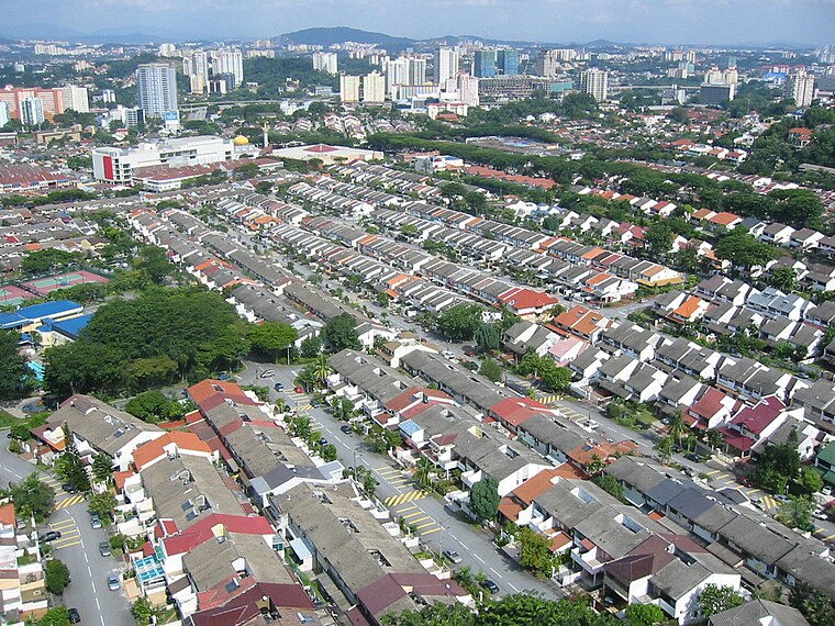
Photo: Melancholia i, Public domain.
Bangsar is a residential suburb on the outskirts of Kuala Lumpur, lying about 4 kilometres south-west of the city centre. It is part of the Lembah Pantai parliamentary constituency.
Federal Hill
Neighborhood

Photo: YateMachine, CC BY-SA 4.0.
Federal Hill is a low-density and affluent residential area in Kuala Lumpur, Malaysia. This residential area was developed during the British colonial era.
Brickfields
Suburb

Photo: Shesmax, CC BY-SA 4.0.
Brickfields is a neighbourhood located on the western flank of central Kuala Lumpur, Malaysia. It is known as Kuala Lumpur's Little India due to the high percentage of Indian residents and businesses.
Ebina Landscape
- Type: Business
- Category: office
- Location: WP. Kuala Lumpur, Kuala Lumpur, West Coast, Malaysia, Southeast Asia, Asia
- View on OpenStreetMap
Latitude
3.13161° or 3° 7′ 54″ northLongitude
101.67181° or 101° 40′ 19″ eastOpen location code
6PM34MJC+JPOpenStreetMap ID
node 7322119521OpenStreetMap feature
office=company
This page is based on OpenStreetMap, Wikidata, and Wikimedia Commons.
We’d love your help improving our open data sources. Thank you for contributing.
Satellite Map
Discover Ebina Landscape from above in high-definition satellite imagery.
Notable Places Nearby
Highlights include Monarchy MMA Gym and Bangsar Police Halt.
Nearby Places
Explore places such as KK Super Mart and Ronnie Q.
Kuala Lumpur: Must-Visit Destinations
Delve into Golden Triangle, Old City Centre, North of City Centre, and Brickfields and Bangsar.
Curious Places to Discover
Uncover intriguing places from every corner of the globe.
About Mapcarta. Data © OpenStreetMap contributors and available under the Open Database License". Text is available under the CC BY-SA 4.0 license, except for photos, directions, and the map. Photo: Renek78, CC0.