Vier handen
Vier handen is a memorial in Hoorn, North Holland Peninsula, North Holland. Vier handen is situated nearby to the church Koepelkerk, Hoorn, as well as near Biljartvereniging Horna.| Tap on a place to explore it |
Places of Interest Nearby
Highlights include Westfries Museum and Koepelkerk, Hoorn.
Westfries Museum
Museum
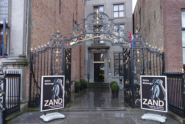
Photo: Dqfn13, CC BY-SA 4.0.
The Westfries Museum, in Hoorn, Netherlands, is a history museum of 17th century Hoorn and the region. Westfries Museum is situated 150 metres southeast of Vier handen.

Roode Steen

Photo: S.moeller, Public domain.
Roode Steen, also known as Kaasmarkt, is a square and a road junction in the city center of Hoorn, Netherlands. The Westfries Museum and the weigh house are both located on the Roode Steen. Roode Steen is situated 140 metres southeast of Vier handen.
Places in the Area
Nearby places include Hoorn 80 and Zwaag.
Hoorn 80
Quarter

Photo: Erik Baas, CC BY-SA 3.0.
Hoorn 80 is a quarter, which is situated 3 km east of Vier handen.
Zwaag
Village

Photo: Muriel32, Public domain.
Zwaag is a village in the Netherlands. It is located in the municipality of Hoorn, the province of North Holland and the region of West Friesland. Zwaag is situated 3 km north of Vier handen.
Blokker
Village
Blokker is a village in the northwest Netherlands, in the province of North Holland and the region of West Friesland. Blokker is situated 3½ km northeast of Vier handen.
Vier handen
- Type: Memorial
- Inscription: “Wanhoop: route gefusillieerden”
- Category: historic site
- Location: Hoorn, North Holland Peninsula, North Holland, Western Netherlands, Netherlands, Benelux, Europe
- View on OpenStreetMap
Latitude
52.63999° or 52° 38′ 24″ northLongitude
5.05717° or 5° 3′ 26″ eastInception
1990Open location code
9F47J3Q4+XVOpenStreetMap ID
node 7677160951OpenStreetMap feature
historic=memorial
This page is based on OpenStreetMap, Wikidata, and Wikimedia Commons.
We’d love your help improving our open data sources. Thank you for contributing.
Satellite Map
Discover Vier handen from above in high-definition satellite imagery.
Places with the Same Name
Discover other places named “Vier handen”.
Notable Places Nearby
Highlights include Biljartvereniging Horna and Overwelfde watergang.
Nearby Places
Explore places such as C&A and Jamin.
North Holland Peninsula: Must-Visit Destinations
Delve into Alkmaar, Den Helder, Enkhuizen, and Castricum.
Curious Memorials to Discover
Uncover intriguing memorials from every corner of the globe.
About Mapcarta. Data © OpenStreetMap contributors and available under the Open Database License". Text is available under the CC BY-SA 4.0 license, except for photos, directions, and the map. Photo: Gerd W. Zinke, CC BY-SA 3.0.