Travacchino Busca
Travacchino Busca is a weir in Ferrera Erbognone, Province of Pavia, Lombardy. Travacchino Busca is situated nearby to the nature reserve Boschetto di Scaldasole, as well as near the village Galliavola.| Tap on a place to explore it |
Places of Interest Nearby
Highlights include Ferrera Lomellina railway halt and Castello di Scaldasole.
Ferrera Lomellina railway halt
Railway station

Photo: Wikimedia, CC BY-SA 2.0.
Ferrera Lomellina railway halt is a railway station, which is situated 1½ km south of Travacchino Busca.
Castello di Scaldasole
Castle

Photo: Awd, CC BY-SA 3.0.
Castello di Scaldasole is a castle, which is situated 4 km east of Travacchino Busca.
Places in the Area
Nearby places include Galliavola and Garlasco.
Galliavola
Village
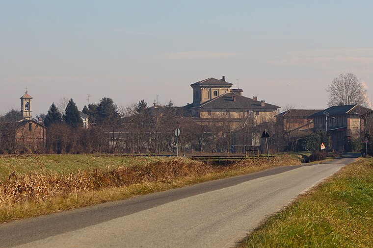
Photo: LigaDue, CC BY-SA 4.0.
Galliavola is a comune in the Province of Pavia in the Italian region Lombardy, located about 50 km southwest of Milan and about 30 km southwest of Pavia. Galliavola is situated 4½ km southwest of Travacchino Busca.
Garlasco
Town
Garlasco is a comune in the Province of Pavia in the Italian region Lombardy, located about 35 kilometres southwest of Milan and about 20 kilometres west of Pavia. Garlasco is situated 9 km northeast of Travacchino Busca.
Tromello
Village
 Tromello is a comune in the Province of Pavia in the Italian region Lombardy, located about 35 km southwest of Milan and about 25 km west of Pavia. As of 31 December 2004, it had a population of 3,561 and an area of 35.2 km2. Tromello is situated 9 km north of Travacchino Busca.
Travacchino Busca
- Type: Weir
- Location: Ferrera Erbognone, Province of Pavia, Lombardy, Northwest Italy, Italy, Europe
- View on OpenStreetMap
Latitude
45.12415° or 45° 7′ 27″ northLongitude
8.85974° or 8° 51′ 35″ eastOpen location code
8FQC4VF5+MVOpenStreetMap ID
node 773639260OpenStreetMap feature
waterway=weir
This page is based on OpenStreetMap, Wikidata, and Wikimedia Commons.
We’d love your help improving our open data sources. Thank you for contributing.
Satellite Map
Discover Travacchino Busca from above in high-definition satellite imagery.
Notable Places Nearby
Highlights include Chiesa di San Giovanni Battista and Municipio di Ferrera Erbognone.
Nearby Places
Explore places such as Cascinino del Travacchino and Cascina Erbogna.
Lombardy: Must-Visit Destinations
Delve into Milan, Bergamo, Brescia, and Mantua.
Curious Weirs to Discover
Uncover intriguing weirs from every corner of the globe.
About Mapcarta. Data © OpenStreetMap contributors and available under the Open Database License". Text is available under the CC BY-SA 4.0 license, except for photos, directions, and the map. Photo: Massimo Telò, CC BY-SA 3.0.