Bait del Vedeler
Bait del Vedeler is a locality in Vermiglio, Trentino, Trentino-Alto Adige and has an elevation of 2,000 metres. Bait del Vedeler is situated nearby to the locality Le Viane, as well as near the hamlet Velon.| Tap on a place to explore it |
Places of Interest
Highlights include Werk Strino and Werk Tonale.

Werk Tonale
Fort

Photo: Jumk18, CC BY-SA 4.0.
Werk Tonale is a fort, which is situated 2½ km southwest of Bait del Vedeler.
Forte Mero
Fort

Photo: Jumk18, CC BY-SA 4.0.
Forte Mero is situated 2½ km southwest of Bait del Vedeler.
Places in the Area
Nearby places include Pizzano and Cortina.
Pizzano
Hamlet
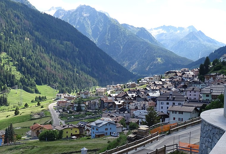
Photo: Syrio, CC BY-SA 4.0.
Pizzano is a hamlet, which is situated 2½ km east of Bait del Vedeler.
Cortina
Hamlet

Photo: Syrio, CC BY-SA 4.0.
Cortina is a hamlet, which is situated 4 km east of Bait del Vedeler.
Comasine
Hamlet

Photo: Syrio, CC BY-SA 4.0.
Comasine is a hamlet, which is situated 6 km northeast of Bait del Vedeler.
Bait del Vedeler
- Type: Locality
- Location: Vermiglio, Trentino, Trentino-Alto Adige, Northeast Italy, Italy, Europe
- View on OpenStreetMap
Latitude
46.29085° or 46° 17′ 27″ northLongitude
10.65319° or 10° 39′ 12″ eastElevation
2,000 metres (6,562 feet)Open location code
8FRG7MR3+87OpenStreetMap ID
node 7828680408OpenStreetMap feature
place=locality
This page is based on OpenStreetMap, Wikidata, and Wikimedia Commons.
We’d love your help improving our open data sources. Thank you for contributing.
Satellite Map
Discover Bait del Vedeler from above in high-definition satellite imagery.
Localities in the Area
Explore places such as Le Viane and Velon.
Notable Places Nearby
Highlights include Biotopo di Corredolo and Caserme.
Trentino: Must-Visit Destinations
Delve into Trento, Rovereto, Riva del Garda, and Canazei.
Curious Localities to Discover
Uncover intriguing localities from every corner of the globe.
About Mapcarta. Data © OpenStreetMap contributors and available under the Open Database License". Text is available under the CC BY-SA 4.0 license, except for photos, directions, and the map. Photo: Dmottl, CC BY-SA 3.0.