Chiesa Cristiana Evangelica Fossano
Chiesa Cristiana Evangelica Fossano is a church in Fossano, Province of Cuneo, Piedmont. Chiesa Cristiana Evangelica Fossano is situated nearby to the school Istituto di istruzione superiore Giancarlo Vallauri, as well as near the pitch Stadio Comunale.| Tap on a place to explore it |
Places of Interest Nearby
Highlights include Chiesa di Santa Maria del Salice and Chiesa di San Michele.
Chiesa di Santa Maria del Salice
Church

Photo: Francians, CC BY-SA 4.0.
Chiesa di Santa Maria del Salice is a church, which is situated 440 metres southwest of Chiesa Cristiana Evangelica Fossano.
Chiesa di San Michele
Church

Photo: Francians, CC BY-SA 4.0.
Chiesa di San Michele is a church, which is situated 520 metres northeast of Chiesa Cristiana Evangelica Fossano.
Cathedral of Fossano
Church
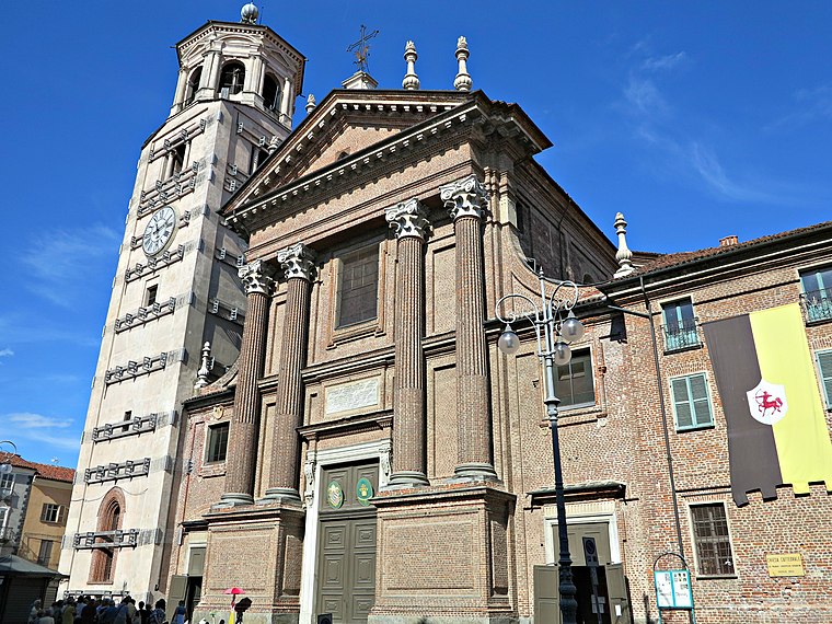
Photo: Mongolo1984, CC BY-SA 3.0.
Fossano is a town and comune of Piedmont, Northern Italy. It is the fourth largest town of the province of Cuneo, after Cuneo, Alba and Bra. It lies on the main railway line from Turin to Cuneo and to Savona, and has a branch line to Mondovì. Cathedral of Fossano is situated 1 km southwest of Chiesa Cristiana Evangelica Fossano.
Places in the Area
Nearby places include San Sebastiano and Isola.
San Sebastiano
Village

Photo: Luigi.tuby, CC BY-SA 3.0.
San Sebastiano is a village, which is situated 6 km southwest of Chiesa Cristiana Evangelica Fossano.
Isola
Hamlet

Photo: Abisys, CC BY-SA 3.0.
Isola is a hamlet, which is situated 8 km southeast of Chiesa Cristiana Evangelica Fossano.
Chiesa Cristiana Evangelica Fossano
- Type: Church
- Denomination: Evangelical
- Categories: place of worship and religion
- Location: Fossano, Province of Cuneo, Piedmont, Northwest Italy, Italy, Europe
- View on OpenStreetMap
Latitude
44.55615° or 44° 33′ 22″ northLongitude
7.73407° or 7° 44′ 3″ eastOpen location code
8FP9HP4M+FJOpenStreetMap ID
node 7839761699OpenStreetMap feature
amenity=place_of_worshipOpenStreetMap attribute
denomination=evangelical
This page is based on OpenStreetMap, Wikidata, and Wikimedia Commons.
We’d love your help improving our open data sources. Thank you for contributing.
Satellite Map
Discover Chiesa Cristiana Evangelica Fossano from above in high-definition satellite imagery.
Notable Places Nearby
Highlights include Istituto di istruzione superiore Giancarlo Vallauri and Stadio Comunale.
Nearby Places
Explore places such as Condominio Alessia and Cricò Bar.
Piedmont: Must-Visit Destinations
Delve into Turin, Novara, Asti, and Alessandria.
Curious Churches to Discover
Uncover intriguing churches from every corner of the globe.
About Mapcarta. Data © OpenStreetMap contributors and available under the Open Database License". Text is available under the CC BY-SA 4.0 license, except for photos, directions, and the map. Photo: Mongolo1984, CC BY-SA 3.0.