Chilworth
Chilworth is a railway stop in St Martha, Guildford District, England. Chilworth is situated nearby to the guest house The Percy Arms, as well as near the historic building Expense Magazine.| Tap on a place to explore it |
Places of Interest Nearby
Highlights include Chilworth railway station and The Percy Arms.
Chilworth railway station
Railway station

Photo: Martyn Davies, CC BY-SA 2.0.
Chilworth railway station serves the village of Chilworth, Surrey, England. The station, and all trains serving it, are operated by the Great Western Railway. It is on the North Downs Line, 39 miles 15 chains measured from London Charing Cross via Redhill.
The Percy Arms
Guest house

Photo: Des Blenkinsopp, CC BY-SA 2.0.
The Percy Arms is a guest house, which is situated 530 feet west of Chilworth.
St Martha’s Hill
Peak
St Martha's Hill is a landmark in St Martha in Surrey, England between the town of Guildford and village of Chilworth. It is the 18th highest hill in the county and on the Greensand Ridge, in this case at the closest point to the North Downs, commencing to the immediate north at the Guildown-Merrow Down in the parishes of Guildford and Merrow.
Places in the Area
Nearby places include Chilworth and Newlands Corner.
Chilworth
Village

Photo: Colin Smith, CC BY-SA 2.0.
Chilworth is a village in the Guildford borough of Surrey, England. It is located in the Tillingbourne valley, southeast of Guildford.
Newlands Corner
Locality

Photo: Colin Smith, CC BY-SA 2.0.
Newlands Corner is a 103-hectare nature reserve east of Guildford in Surrey, England. It is owned by the Albury Estate. It used to be managed by the Surrey Wildlife Trust under an access agreement between the estate and Surrey County Council, but is no longer managed by them.
Shalford
Village
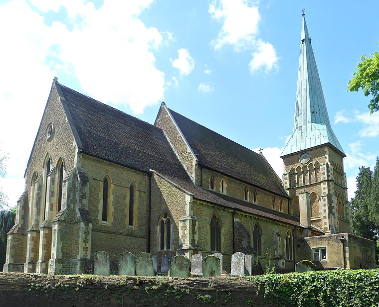
Photo: Hassocks5489, CC0.
Shalford is a village and civil parish in the Guildford district, in Surrey, England on the A281 Horsham road immediately south of Guildford. It has a railway station which is between Guildford and Dorking on the Reading to Gatwick Airport line. Shalford is situated 2 miles west of Chilworth.
Chilworth
- Type: Railway stop
- Categories: transport stop and transportation
- Location: St Martha, Guildford District, Surrey, South East England, England, United Kingdom, Britain and Ireland, Europe
- View on OpenStreetMap
Latitude
51.21524° or 51° 12′ 55″ northLongitude
-0.52379° or 0° 31′ 26″ westOpen location code
9C3X6F8G+3FOpenStreetMap ID
node 7874283742OpenStreetMap feature
public_transport=stop_positionOpenStreetMap feature
railway=stop
This page is based on OpenStreetMap, Wikidata, and Wikimedia Commons.
We’d love your help improving our open data sources. Thank you for contributing.
Satellite Map
Discover Chilworth from above in high-definition satellite imagery.
Places with the Same Name
Discover other places named “Chilworth”.
Notable Places Nearby
Highlights include Chilworth Station and Chilworth CofE (Aided) Infant School.
Nearby Places
Explore places such as All That Gleams and Chilworth.
Surrey: Must-Visit Destinations
Delve into Guildford, Woking, Godalming, and Epsom.
Curious Railway Stops to Discover
Uncover intriguing railway stops from every corner of the globe.
About Mapcarta. Data © OpenStreetMap contributors and available under the Open Database License". Text is available under the CC BY-SA 4.0 license, except for photos, directions, and the map. Photo: Wikimedia, CC0.