Tracy Wells
Tracy Wells is a shop in Ulverston, Westmorland and Furness, England which is located on Upper Brook Street. Tracy Wells is situated nearby to Hope And Anchor Public House, as well as near Rose And Crown Public House.| Tap on a place to explore it |
Places of Interest Nearby
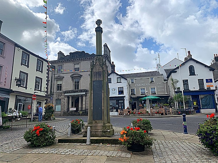
Highlights include Ulverston War Memorial and Coronation Hall.
Coronation Hall
Theater building

Photo: Alexander P Kapp, CC BY-SA 2.0.
Coronation Hall is a theater building, which is situated 920 feet southeast of Tracy Wells.

Places in the Area
Nearby places include Swarthmoor and Canal Foot.
Swarthmoor
Village

Photo: Yohan euan o4, CC BY-SA 3.0.
Swarthmoor is a small village near Ulverston, in Cumbria, England. Located on the Furness peninsula, it was historically part of Lancashire.
Canal Foot
Hamlet

Photo: Dave&Lynne Slater, CC BY 2.0.
Canal Foot is an industrial village in Cumbria, England, on the Leven estuary. It is located 1.7 miles by road to the east of the centre of Ulverston. Its name comes from its location being where the Ulverston Canal meets the Estuary. Canal Foot is situated 2 miles east of Tracy Wells.
Arrad Foot
Hamlet

Photo: Ben Stafford, CC BY-SA 2.0.
Arrad Foot is a hamlet in Westmorland and Furness, Cumbria, England. The hamlet is situated on a minor road just off the A590 road, with the village of Greenodd to the north, and the town Ulverston to the south. Arrad Foot is situated 2 miles northeast of Tracy Wells.
Tracy Wells
- Type: Shop
- Address: 17 Upper Brook Street, Ulverston
- Location: Ulverston, Westmorland and Furness, Cumbria, North West England, England, United Kingdom, Britain and Ireland, Europe
- View on OpenStreetMap
Latitude
54.19665° or 54° 11′ 48″ northLongitude
-3.09693° or 3° 5′ 49″ westOpen location code
9C6R5WW3+M6OpenStreetMap ID
node 7969143496OpenStreetMap feature
shop=hats
This page is based on OpenStreetMap, Wikidata, and Wikimedia Commons.
We’d love your help improving our open data sources. Thank you for contributing.
Satellite Map
Discover Tracy Wells from above in high-definition satellite imagery.
Notable Places Nearby
Highlights include Rose And Crown Public House and Lonsdale House Hotel.
Nearby Places
Explore places such as Deathstar Tattoos and The Barber’s Shop.
Cumbria: Must-Visit Destinations
Delve into Carlisle, Barrow-in-Furness, Kendal, and Penrith.
Curious Shops to Discover
Uncover intriguing shops from every corner of the globe.
About Mapcarta. Data © OpenStreetMap contributors and available under the Open Database License". Text is available under the CC BY-SA 4.0 license, except for photos, directions, and the map. Photo: Yohan euan o4, CC BY-SA 3.0.