Chiesetta della Consolazione
Chiesetta della Consolazione is a church in Arpino, Frosinone, Lazio. Chiesetta della Consolazione is situated nearby to the church Chiesa di San Sebastiano, as well as near the quarry Ex Cava.| Tap on a place to explore it |
Places of Interest Nearby
Highlights include Conte Arduino Mangoni and Isola Liri railway halt.
Conte Arduino Mangoni
Stadium

Photo: Shapiro1983, Public domain.
Stadio Arduino Mangoni, is a multi-purpose stadium in Isola del Liri, Italy. It is mainly used mostly for football matches and hosts the home matches of Isola Liri in Serie D. The stadium has a capacity of 3,120 spectators and meets Lega Pro criteria. Conte Arduino Mangoni is situated 3½ km northwest of Chiesetta della Consolazione.
Isola Liri railway halt
Railway station

Photo: Guybrush Threepwood, CC BY-SA 4.0.
Isola Liri railway halt is a railway station, which is situated 4 km northwest of Chiesetta della Consolazione.
Places in the Area
Nearby places include Isola del Liri and Anitrella.
Isola del Liri
Town

Photo: Iconauta, CC BY-SA 4.0.
Isola del Liri is an Italian town of Lazio, Italy, in the province of Frosinone. As its name implies, Isola is situated between two arms of the Liri. The many waterfalls of this river and of the Fibreno are used by factories. Isola del Liri is situated 4 km northwest of Chiesetta della Consolazione.
Anitrella
Village
 Anitrella is a frazione, or territorial subdivision of a comune, of the Italian comune of Monte San Giovanni Campano. There was an important paper mill built by the counts Lucernari and ruled by the Ligurian family Piccardo. Anitrella is situated 4½ km west of Chiesetta della Consolazione.
Castelliri
Village
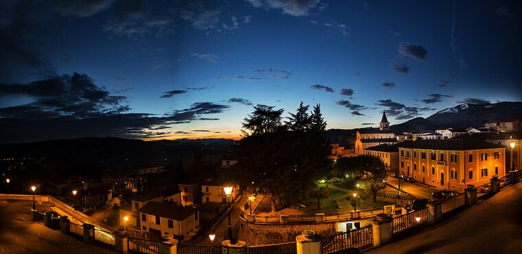
Photo: Aldo Porretta, CC BY-SA 3.0.
Castelliri is a comune of c. 3,500 inhabitants in the province of Frosinone in the Italian region Lazio, located in the valley of the Liri, about 90 kilometres southeast of Rome and about 20 kilometres northeast of Frosinone. Castelliri is situated 5 km northwest of Chiesetta della Consolazione.
Chiesetta della Consolazione
- Type: Church
- Categories: place of worship and religion
- Location: Arpino, Frosinone, Lazio, Central Italy, Italy, Europe
- View on OpenStreetMap
Latitude
41.65012° or 41° 39′ 0″ northLongitude
13.6016° or 13° 36′ 6″ eastOpen location code
8FHMMJ22+2JOpenStreetMap ID
node 8064001172OpenStreetMap feature
amenity=place_of_worship
This page is based on OpenStreetMap, Wikidata, and Wikimedia Commons.
We’d love your help improving our open data sources. Thank you for contributing.
Satellite Map
Discover Chiesetta della Consolazione from above in high-definition satellite imagery.
Notable Places Nearby
Highlights include Chiesa di San Sebastiano and Ex Cava.
Nearby Places
Explore places such as Monumento ai piloti and Belsito.
Curious Churches to Discover
Uncover intriguing churches from every corner of the globe.
About Mapcarta. Data © OpenStreetMap contributors and available under the Open Database License". Text is available under the CC BY-SA 4.0 license, except for photos, directions, and the map. Photo: Daniel Nascimento, CC BY-SA 2.0.