Angiplast S.n.c.
Angiplast S.n.c. is a factory in Mozzate, Province of Como, Lombardy which is located on Via Corbè. Angiplast S.n.c. is situated nearby to the sports venue New Fisicomania, as well as near the historic building Villa Giussani Merlini.| Tap on a place to explore it |
Places of Interest Nearby
Highlights include Mozzate and Vergine Addolorata.
Mozzate
Town hall

Photo: Yiyi, CC BY-SA 4.0.
Mozzate is a comune in the southwestern part of the province of Como, Lombardy, northern Italy. It has an area of 10.36 square kilometres and 7,505 inhabitants. Mozzate is situated 1 km northwest of Angiplast S.n.c..
Vergine Addolorata
Church

Photo: Yiyi, CC BY-SA 4.0.
Vergine Addolorata is a church, which is situated 520 metres north of Angiplast S.n.c..
Town hall
Town hall

Photo: Yiyi, CC BY-SA 4.0.
Town hall is situated 1 km southeast of Angiplast S.n.c..
Places in the Area
Nearby places include Massina and Gerenzano.
Massina
Village
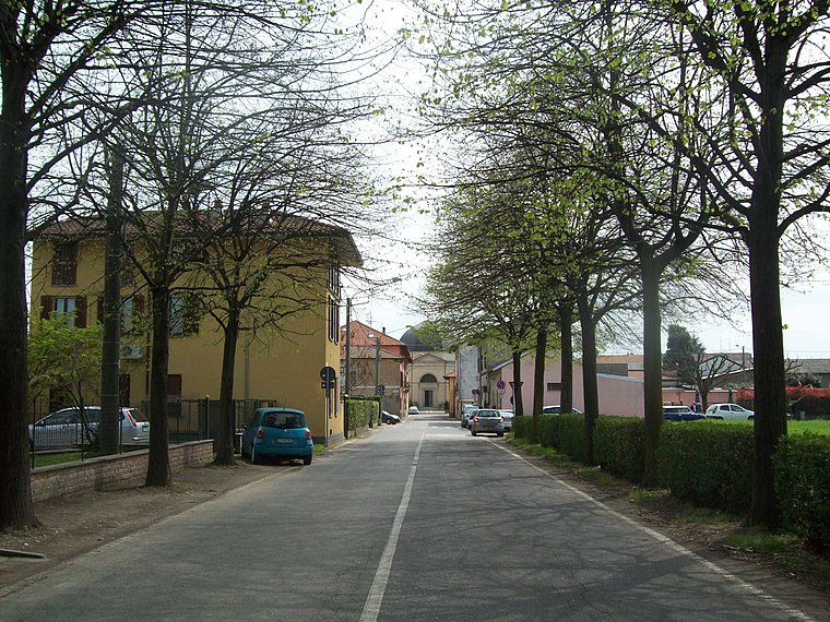
Photo: Adelchi, CC BY-SA 3.0.
Massina is a village, which is situated 2½ km south of Angiplast S.n.c..
Gerenzano

Photo: MarcoAZ67, Public domain.
Gerenzano is a town in the Lombard province of Varese. It's not on the main tourist map and there are no real attractions in town, but there's a hotel and it can serve as a base just outside chaotic Milan.
Rescalda
Suburb

Photo: Wikimedia, Public domain.
Rescalda is a suburb, which is situated 4½ km southwest of Angiplast S.n.c..
Angiplast S.n.c.
- Type: Factory
- Address: Via Corbè 8, Mozzate, 22076
- Category: industry
- Location: Mozzate, Province of Como, Lombardy, Northwest Italy, Italy, Europe
- View on OpenStreetMap
Latitude
45.66613° or 45° 39′ 58″ northLongitude
8.96184° or 8° 57′ 43″ eastOpen location code
8FQCMX86+FPOpenStreetMap ID
node 8111574067OpenStreetMap feature
man_made=works
This page is based on OpenStreetMap, Wikidata, and Wikimedia Commons.
We’d love your help improving our open data sources. Thank you for contributing.
Satellite Map
Discover Angiplast S.n.c. from above in high-definition satellite imagery.
Notable Places Nearby
Highlights include New Fisicomania and Villa Giussani Merlini.
Nearby Places
Explore places such as Eurocover Commerciale S.r.l. and Stac S.r.l..
Lombardy: Must-Visit Destinations
Delve into Milan, Bergamo, Brescia, and Mantua.
Curious Factories to Discover
Uncover intriguing factories from every corner of the globe.
About Mapcarta. Data © OpenStreetMap contributors and available under the Open Database License". Text is available under the CC BY-SA 4.0 license, except for photos, directions, and the map. Photo: Wiki rkit, CC BY-SA 4.0.