Flora Organika café
Flora Organika café is a café in Brisbane, Queensland. Flora Organika café is situated nearby to the community center Aruma Disability Services, as well as near Vera Street Community Garden.| Tap on a place to explore it |
Places of Interest Nearby
Highlights include Brisbane Botanic Gardens and Sir Thomas Brisbane Planetarium.
Brisbane Botanic Gardens
Park

Photo: Figaro, Public domain.
The Brisbane Botanic Gardens are located 7 kilometres from the Brisbane CBD at the foot of Brisbane's tallest mountain, Mount Coot-tha in the suburb of Mount Coot-tha, Queensland, Australia. Brisbane Botanic Gardens is situated 1¼ km northwest of Flora Organika café.
Sir Thomas Brisbane Planetarium
Planetarium

Photo: Nemti, CC BY-SA 3.0.
The Sir Thomas Brisbane Planetarium is located on the grounds of the Brisbane Botanic Gardens in the suburb of Mount Coot-tha, Brisbane, Queensland, Australia. Sir Thomas Brisbane Planetarium is situated 1¼ km northwest of Flora Organika café.
Toowong Memorial Park
Park
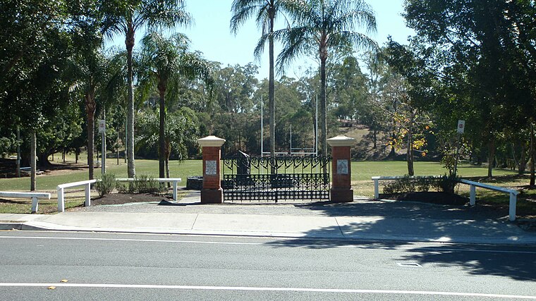 Toowong Memorial Park is a heritage-listed memorial and park at 65 Sylvan Road, Toowong, City of Brisbane, Queensland, Australia. It was designed by George Rae and built c. 1922 by Andrew Lang Petrie Monumental Works. Toowong Memorial Park is situated 1 km northeast of Flora Organika café.
Places in the Area
Nearby places include West End and Chelmer.
West End
Suburb

Photo: Misaochan2, CC BY 4.0.
West End is an inner southern suburb in the City of Brisbane, Queensland, Australia. In the 2021 census, West End had a population of 14,730 people. The Aboriginal name for the area is Kurilpa, which means place of the water rat.
Chelmer
Suburb
Chelmer is a south-western suburb in the City of Brisbane, Queensland, Australia. In the 2021 census, Chelmer had a population of 3,325. Chelmer is situated 3½ km south of Flora Organika café.
South Bank
Neighborhood

Photo: willislim, CC BY-SA 2.0.
South Bank is a cultural, social, educational and recreational precinct in Brisbane, Queensland, Australia. The precinct is located in the suburb of South Brisbane, on the southern bank of the Brisbane River. South Bank is situated 4 km east of Flora Organika café.
Flora Organika café
- Type: Café
- Location: Brisbane, Queensland, Australia, Oceania
- View on OpenStreetMap
Latitude
-27.48353° or 27° 29′ 1″ southLongitude
152.98424° or 152° 59′ 3″ eastOpen location code
5R4JGX8M+HMOpenStreetMap ID
node 8241831085OpenStreetMap feature
amenity=cafe
This page is based on OpenStreetMap, Wikidata, and Wikimedia Commons.
We’d love your help improving our open data sources. Thank you for contributing.
Satellite Map
Discover Flora Organika café from above in high-definition satellite imagery.
Notable Places Nearby
Highlights include Aruma Disability Services and Vera Street Community Garden.
Nearby Places
Explore places such as Flora Organika and Kettering Professional Services.
Queensland: Must-Visit Destinations
Delve into Brisbane, Gold Coast, Sunshine Coast, and Cairns.
Curious Cafés to Discover
Uncover intriguing cafés from every corner of the globe.
About Mapcarta. Data © OpenStreetMap contributors and available under the Open Database License". Text is available under the CC BY-SA 4.0 license, except for photos, directions, and the map. Photo: Wikimedia, CC0.