Somerset Hill
Somerset Hill is a locality in Shere, Guildford District, England. Somerset Hill is situated nearby to the village Holmbury St Mary, as well as near Peaslake.| Tap on a place to explore it |
Places of Interest
Highlights include Holmbury Hill and Mullard Space Science Laboratory.
Holmbury Hill
Peak

Photo: Frege100, CC BY-SA 4.0.
Holmbury Hill is a wooded area of 261 metres above sea level in Surrey, England, and the site of an Iron Age-period hillfort. The Old Saxon word "holm" can be translated as hill and "bury" means fortified place.
Mullard Space Science Laboratory
University

Photo: John Barrett, CC BY-SA 2.0.
The UCL Mullard Space Science Laboratory is the United Kingdom's largest university space research group. MSSL is part of the Department of Space and Climate Physics at University College London, one of the first universities in the world to conduct space research.
Places in the Area
Nearby places include Holmbury St Mary and Sutton Abinger.
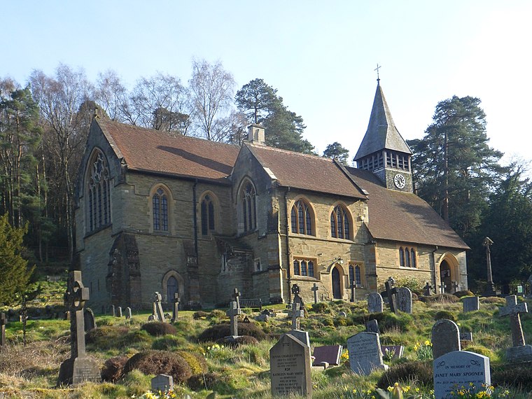
Holmbury St Mary
Village

Photo: Mike Peel, CC BY-SA 4.0.
Holmbury St Mary is a village in Surrey, England centered on shallow upper slopes of the Greensand Ridge. Its developed area is a nucleated village, 4.5 miles southwest of Dorking and 8 miles southeast of Guildford.
Sutton Abinger
Hamlet

Photo: Colin Smith, CC BY-SA 2.0.
Abinger is a large, well-wooded and mostly rural civil parish that lies between the settlements of Dorking, Shere and Ewhurst in the district of Mole Valley, Surrey, England.
Friday Street
Hamlet

Photo: Richard Slessor, CC BY-SA 2.0.
Friday Street is a hamlet on the gentle lower north slope of Leith Hill in Surrey, England. It is in a wooded headwater ravine, just to the south of Wotton and the A25, a single rather than dual carriageway road, running between Guildford to the west and Dorking to the east. Friday Street is situated 2 miles northeast of Somerset Hill.
Somerset Hill
- Type: Locality
- Location: Shere, Guildford District, Surrey, South East England, England, United Kingdom, Britain and Ireland, Europe
- View on OpenStreetMap
Latitude
51.18073° or 51° 10′ 51″ northLongitude
-0.41852° or 0° 25′ 7″ westOpen location code
9C3X5HJJ+7HOpenStreetMap ID
node 8286688137OpenStreetMap feature
place=locality
This page is based on OpenStreetMap, Wikidata, and Wikimedia Commons.
We’d love your help improving our open data sources. Thank you for contributing.
Satellite Map
Discover Somerset Hill from above in high-definition satellite imagery.
Places with the Same Name
Discover other places named “Somerset Hill”.
Localities in the Area
Explore places such as Peaslake and Sutton Place.
Notable Places Nearby
Highlights include Holmbury St. Mary Cricket Club and Holmdale.
Surrey: Must-Visit Destinations
Delve into Guildford, Woking, Godalming, and Epsom.
Curious Localities to Discover
Uncover intriguing localities from every corner of the globe.
About Mapcarta. Data © OpenStreetMap contributors and available under the Open Database License". Text is available under the CC BY-SA 4.0 license, except for photos, directions, and the map. Photo: Wikimedia, CC0.