Alimentari ‘A Bitega’
Alimentari ‘A Bitega’ is a convenience store in Ventimiglia, Province of Imperia, Liguria which is located on Piazzetta della Fontana. Alimentari ‘A Bitega’ is situated nearby to the church San Secondo, as well as near Piazza Borea.| Tap on a place to explore it |
Places of Interest Nearby
Highlights include San Secondo and San Michele Arcangelo.
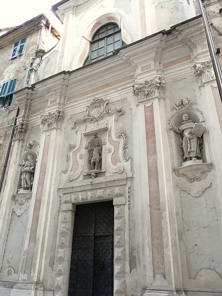
San Michele Arcangelo
Church

Photo: Wikimedia, CC BY-SA 3.0.
San Michele Arcangelo is a church, which is situated 120 metres north of Alimentari ‘A Bitega’.
Ventimiglia Cathedral
Church

Photo: Lemone, CC BY-SA 4.0.
Ventimiglia Cathedral is a church, which is situated 210 metres southeast of Alimentari ‘A Bitega’.
Places in the Area
Nearby places include Latte and Camporosso.
Latte
Village

Photo: Lemone, CC BY-SA 4.0.
Latte is a village, which is situated 3 km west of Alimentari ‘A Bitega’.
Camporosso
Village

Photo: Wikimedia, CC BY-SA 3.0.
Camporosso is a comune in the Province of Imperia in the Italian region Liguria, located about 160 kilometres southwest of Genoa and about 45 kilometres west of Imperia. Camporosso is situated 3½ km northeast of Alimentari ‘A Bitega’.
Vallecrosia
Village

Photo: Patafisik, CC BY-SA 4.0.
Vallecrosia is a comune in the Province of Imperia in the Italian region Liguria, located about 120 kilometres southwest of Genoa and about 30 kilometres west of Imperia. Vallecrosia is situated 3½ km east of Alimentari ‘A Bitega’.
Alimentari ‘A Bitega’
- Type: Convenience store
- Address: Piazzetta della Fontana 1a, Ventimiglia, 18039
- Categories: shop and food
- Location: Ventimiglia, Province of Imperia, Liguria, Northwest Italy, Italy, Europe
- View on OpenStreetMap
Latitude
43.79193° or 43° 47′ 31″ northLongitude
7.60029° or 7° 36′ 1″ eastOpen location code
8FM9QJR2+Q4OpenStreetMap ID
node 8910651451OpenStreetMap feature
shop=convenience
This page is based on OpenStreetMap, Wikidata, and Wikimedia Commons.
We’d love your help improving our open data sources. Thank you for contributing.
Satellite Map
Discover Alimentari ‘A Bitega’ from above in high-definition satellite imagery.
Places with the Same Name
Discover other places named “Alimentari ‘A Bitega’”.
Notable Places Nearby
Highlights include Piazza Borea and Porta Nizza.
Nearby Places
Explore places such as Nene‘ La Barberia and Panificio Marralli Angelo.
Liguria: Must-Visit Destinations
Delve into Genoa, Sanremo, La Spezia, and Savona.
Curious Convenience Stores to Discover
Uncover intriguing convenience stores from every corner of the globe.
About Mapcarta. Data © OpenStreetMap contributors and available under the Open Database License". Text is available under the CC BY-SA 4.0 license, except for photos, directions, and the map. Photo: Tangopaso, Public domain.