United Utilities Information Centre
United Utilities Information Centre is an office in Windermere, Westmorland and Furness, England which is located on Crescent Road. United Utilities Information Centre is situated nearby to the art gallery Cook House Gallery, as well as near Windermere Post Office.| Tap on a place to explore it |
Places of Interest Nearby
Highlights include Windermere railway station and Windermere Library.
Windermere railway station
Railway station
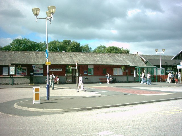
Photo: John Lomas, CC BY-SA 2.0.
Windermere railway station serves the town of Windermere, in Cumbria, England. It is the northern terminus of the Windermere Branch Line, which runs from Oxenholme. Windermere railway station is situated 680 feet northeast of United Utilities Information Centre.
Windermere Library
Library

Photo: edward mcmaihin, CC BY-SA 2.0.
Windermere Library is situated 610 feet south of United Utilities Information Centre.
St Mary’s Church
Church

Photo: Alexander P Kapp, CC BY-SA 2.0.
St Mary's Church is in the town of Windermere, Cumbria, England. It is an active Anglican parish church in the deanery of Windermere, the archdeaconry of Westmorland and Furness, and the diocese of Carlisle. St Mary’s Church is situated 1,300 feet northwest of United Utilities Information Centre.
Places in the Area
Nearby places include Bowness-on-Windermere and Troutbeck Bridge.
Bowness-on-Windermere

Photo: AlasdairW, CC BY-SA 3.0.
Bowness-on-Windermere is the main tourist centre for the South Lakes area of Lake District National Park. It sits on the shore of Windermere lake within the boundaries of the historic County of Westmorland. In 2011, it had about 3,800 permanent residents.
Troutbeck Bridge
Village

Photo: Mark Anderson, CC BY-SA 2.0.
Troutbeck Bridge is a village in the civil parish of Windermere and Bowness, in the Westmorland and Furness district, in the ceremonial county of Cumbria, England.
Cleabarrow
Hamlet

Photo: Ian S, CC BY-SA 2.0.
Cleabarrow is a hamlet in Cumbria, England. It gives its name to a small tarn in the area.
United Utilities Information Centre
- Type: Water utility
- Address: 8 Crescent Road, Windermere, LA23 1EA
- Category: office
- Location: Windermere, Westmorland and Furness, Cumbria, North West England, England, United Kingdom, Britain and Ireland, Europe
- View on OpenStreetMap
Latitude
54.37842° or 54° 22′ 42″ northLongitude
-2.9059° or 2° 54′ 21″ westOpen location code
9C6V93HV+9JOpenStreetMap ID
node 8927439980OpenStreetMap feature
office=water_utility
This page is based on OpenStreetMap, Wikidata, and Wikimedia Commons.
We’d love your help improving our open data sources. Thank you for contributing.
Satellite Map
Discover United Utilities Information Centre from above in high-definition satellite imagery.
Notable Places Nearby
Highlights include Windermere Post Office and Cook House Gallery.
Nearby Places
Explore places such as The Northern Line and Boots.
Cumbria: Must-Visit Destinations
Delve into Carlisle, Barrow-in-Furness, Kendal, and Penrith.
Curious Places to Discover
Uncover intriguing places from every corner of the globe.
About Mapcarta. Data © OpenStreetMap contributors and available under the Open Database License". Text is available under the CC BY-SA 4.0 license, except for photos, directions, and the map. Photo: AlasdairW, CC BY-SA 3.0.