Selfpick
Selfpick is a greengrocer in Wigan, England. Selfpick is situated nearby to Atherton Road Post Office, as well as near Church of Christ.| Tap on a place to explore it |
Places of Interest Nearby
Highlights include St Peter’s Church, Hindley and Church of All Saints.
St Peter’s Church, Hindley
Church

Photo: Wikimedia, CC BY-SA 2.0.
St Peter's Church is located on the junction of Atherton Road and Liverpool Road, Hindley, Wigan, Greater Manchester, England. It is an active Anglican parish church in the deanery of Wigan, the archdeaconry of Warrington, and the diocese of Liverpool. St Peter’s Church, Hindley is situated 1,400 feet northwest of Selfpick.
Church of All Saints
Church

Photo: S Parish, CC BY-SA 2.0.
Church of All Saints is situated 1,400 feet northeast of Selfpick.
Hindley railway station
Railway station

Photo: El Pollock, CC BY-SA 2.0.
Hindley railway station is a railway station that serves the town of Hindley in Greater Manchester, England. It is on the Manchester to Southport line, west of where the route branches to use either the Atherton line or the Eastern Branch line via Westhoughton, Lostock and Bolton. Hindley railway station is situated 4,000 feet north of Selfpick.
Places in the Area
Nearby places include Hindley and Scholes.
Hindley
Town

Photo: Jhamez84, CC BY-SA 2.0.
Hindley is a town within the Metropolitan Borough of Wigan in Greater Manchester, England. It is three miles east of Wigan and covers an area of 2,580 acres.
Scholes
Suburb
Scholes is an urban area in Wigan, Greater Manchester, England. Scholes is immediately to the east of Wigan's town centre; separated from the commercial area by the River Douglas. Scholes is situated 2 miles northwest of Selfpick.
Westhoughton
Town
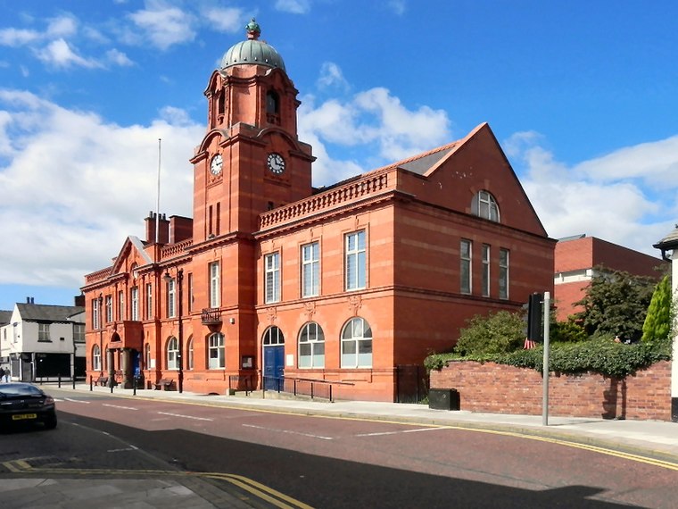
Photo: David Dixon, CC BY-SA 2.0.
Bolton is a large town in Greater Manchester in the North-West of England, 17 miles north of Manchester city centre. It celebrates its industrial heritage of canals, coal, cotton, and railways. Westhoughton is situated 2½ miles northeast of Selfpick.
Selfpick
- Type: Greengrocer
- Categories: shop and food
- Location: Wigan, England, United Kingdom, Britain and Ireland, Europe
- View on OpenStreetMap
Latitude
53.53151° or 53° 31′ 53″ northLongitude
-2.57535° or 2° 34′ 31″ westOpen location code
9C5VGCJF+JVOpenStreetMap ID
node 9367039521OpenStreetMap feature
shop=greengrocer
This page is based on OpenStreetMap, Wikidata, and Wikimedia Commons.
We’d love your help improving our open data sources. Thank you for contributing.
Satellite Map
Discover Selfpick from above in high-definition satellite imagery.
Notable Places Nearby
Highlights include Atherton Road Post Office and Church of Christ.
Nearby Places
Explore places such as Dog and Partridge and Geoff’s.
England: Must-Visit Destinations
Delve into London, Manchester, Sheffield, and Leeds.
Curious Greengrocers to Discover
Uncover intriguing greengrocers from every corner of the globe.
About Mapcarta. Data © OpenStreetMap contributors and available under the Open Database License". Text is available under the CC BY-SA 4.0 license, except for photos, directions, and the map. Photo: sidibousaid, CC BY 2.0.