Neglane
Neglane is a locality in Vobarno, Province of Brescia, Lombardy. Neglane is situated nearby to the locality San Rocco, as well as near Coste.| Tap on a place to explore it |
Places of Interest
Highlights include Town hall of Provaglio Val Sabbia and Santa Maria Assunta Church.
Town hall of Provaglio Val Sabbia
Town hall

Photo: Cesarepasini, CC BY-SA 4.0.
Town hall of Provaglio Val Sabbia is situated 3½ km northwest of Neglane.
Santa Maria Assunta Church
Church

Photo: Marchetto da Trieste, CC BY-SA 4.0.
Santa Maria Assunta Church is situated 3½ km southeast of Neglane.
Places in the Area
Nearby places include Tormini and Campoverde.
Tormini
Village

Photo: Wikimedia, Public domain.
Tormini is a village, which is situated 6 km south of Neglane.
Campoverde
Hamlet

Photo: GuardiamarinaVeneziano, CC BY-SA 4.0.
Campoverde is a hamlet, which is situated 7 km southeast of Neglane.
Nozza
Village
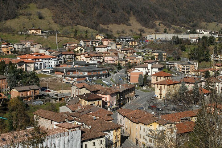
Photo: GuardiamarinaVeneziano, CC BY-SA 4.0.
Nozza is a village, which is situated 7 km northwest of Neglane.
Neglane
- Type: Locality
- Location: Vobarno, Province of Brescia, Lombardy, Northwest Italy, Italy, Europe
- View on OpenStreetMap
Latitude
45.6642° or 45° 39′ 51″ northLongitude
10.46586° or 10° 27′ 57″ eastOpen location code
8FQGMF78+M8OpenStreetMap ID
node 9407108403OpenStreetMap feature
place=locality
This page is based on OpenStreetMap, Wikidata, and Wikimedia Commons.
We’d love your help improving our open data sources. Thank you for contributing.
Satellite Map
Discover Neglane from above in high-definition satellite imagery.
Localities in the Area
Explore places such as San Rocco and Coste.
Notable Places Nearby
Highlights include Chiesa dei Santi Cornelio e Cipriano and Cava Repetti.
Lombardy: Must-Visit Destinations
Delve into Milan, Bergamo, Brescia, and Mantua.
Curious Localities to Discover
Uncover intriguing localities from every corner of the globe.
About Mapcarta. Data © OpenStreetMap contributors and available under the Open Database License". Text is available under the CC BY-SA 4.0 license, except for photos, directions, and the map. Photo: Andrix 1997, CC BY-SA 4.0.