Rawinhuset, ca 1945
Rawinhuset, ca 1945 is in Ullensaker, Akershus. Rawinhuset, ca 1945 is situated nearby to the scenic viewpoint Plane spotter sight Bunkeren, as well as near the museum Norwegian Armed Forces Aircraft Collection.| Tap on a place to explore it |
Places of Interest Nearby
Highlights include Oslo Airport, Gardermoen and Norwegian Armed Forces Aircraft Collection.
Oslo Airport, Gardermoen

Photo: Wikimedia, CC BY-SA 3.0.
Oslo Airport, Gardermoen is the main airport serving Oslo and most of East Norway. The airport is at Gardermoen about 40 km north of Oslo about 20 minutes by train.
Norwegian Armed Forces Aircraft Collection
Museum

Photo: Paaln, CC BY-SA 3.0.
Norwegian Armed Forces Aircraft Collection is a military aviation museum located at Gardermoen, north of Oslo in Akershus county, Norway. The founding of the Norwegian Aviation Historical Society in 1967, gave the first boost to the idea of preserving aircraft in Norway. Norwegian Armed Forces Aircraft Collection is situated 110 metres south of Rawinhuset, ca 1945.
Oslo Airport
Railway station
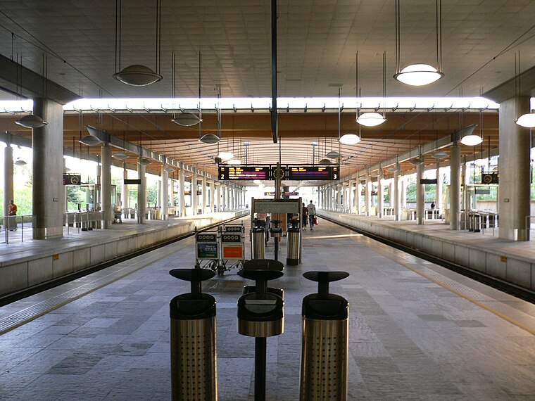
Photo: hirotomo t, CC BY-SA 2.0.
Oslo Airport Station, also known as Gardermoen Station, is a railway station located in the airport terminal building of Oslo Airport, Gardermoen in Norway. Oslo Airport is situated 1½ km east of Rawinhuset, ca 1945.
Places in the Area
Nearby places include Jessheim.
Jessheim
Town

Photo: TommyG, CC BY-SA 4.0.
Oslo Airport, Gardermoen is the main airport serving Oslo and most of East Norway. The airport is at Gardermoen about 40 km north of Oslo about 20 minutes by train. Jessheim is situated 8 km southeast of Rawinhuset, ca 1945.
Rawinhuset, ca 1945
- Type: Sign
- Inscription: “Rawinhuset (ra-radar, win-wind) er bygget som en tikant, altså tilnærmet rund. Den er oppført for å huse apparaturen som målte høyden til værballongene. Måleinstrumentet, en radioteodolitt som sto på en dreibar lavett, er årsaken til den spesielle utformi”
- Categories: information and tourism
- Location: Ullensaker, Akershus, Norway, Nordic countries, Europe
- View on OpenStreetMap
Latitude
60.19007° or 60° 11′ 24″ northLongitude
11.07071° or 11° 4′ 15″ eastOpen location code
9FGH53RC+27OpenStreetMap ID
node 9543841423OpenStreetMap feature
tourism=information
This page is based on OpenStreetMap, Wikidata, and Wikimedia Commons.
We’d love your help improving our open data sources. Thank you for contributing.
Satellite Map
Discover Rawinhuset, ca 1945 from above in high-definition satellite imagery.
Notable Places Nearby
Highlights include Plane spotter sight Bunkeren and Ullensaker museum.
Nearby Places
Explore places such as Rawinhuset and Ballonghuset, ca 1945.
Norway: Must-Visit Destinations
Delve into Oslo, Bergen, Trondheim, and Tromsø.
Curious Places to Discover
Uncover intriguing places from every corner of the globe.
About Mapcarta. Data © OpenStreetMap contributors and available under the Open Database License". Text is available under the CC BY-SA 4.0 license, except for photos, directions, and the map. Photo: Ximonic, CC BY-SA 3.0.