Fruitautomaat
Fruitautomaat is a farm shop in Ranst, Arrondissement of Antwerp, Flanders. Fruitautomaat is situated nearby to the church Sint-Gummaruskapel, as well as near TC Emblem.| Tap on a place to explore it |
Places of Interest Nearby
Highlights include Sint-Gummaruskapel and Sint-Gummaruskerk.
Sint-Gummaruskapel
Church

Photo: Sally V, CC BY-SA 4.0.
Sint-Gummaruskapel is a church, which is situated 560 metres east of Fruitautomaat.
Sint-Gummaruskerk
Church
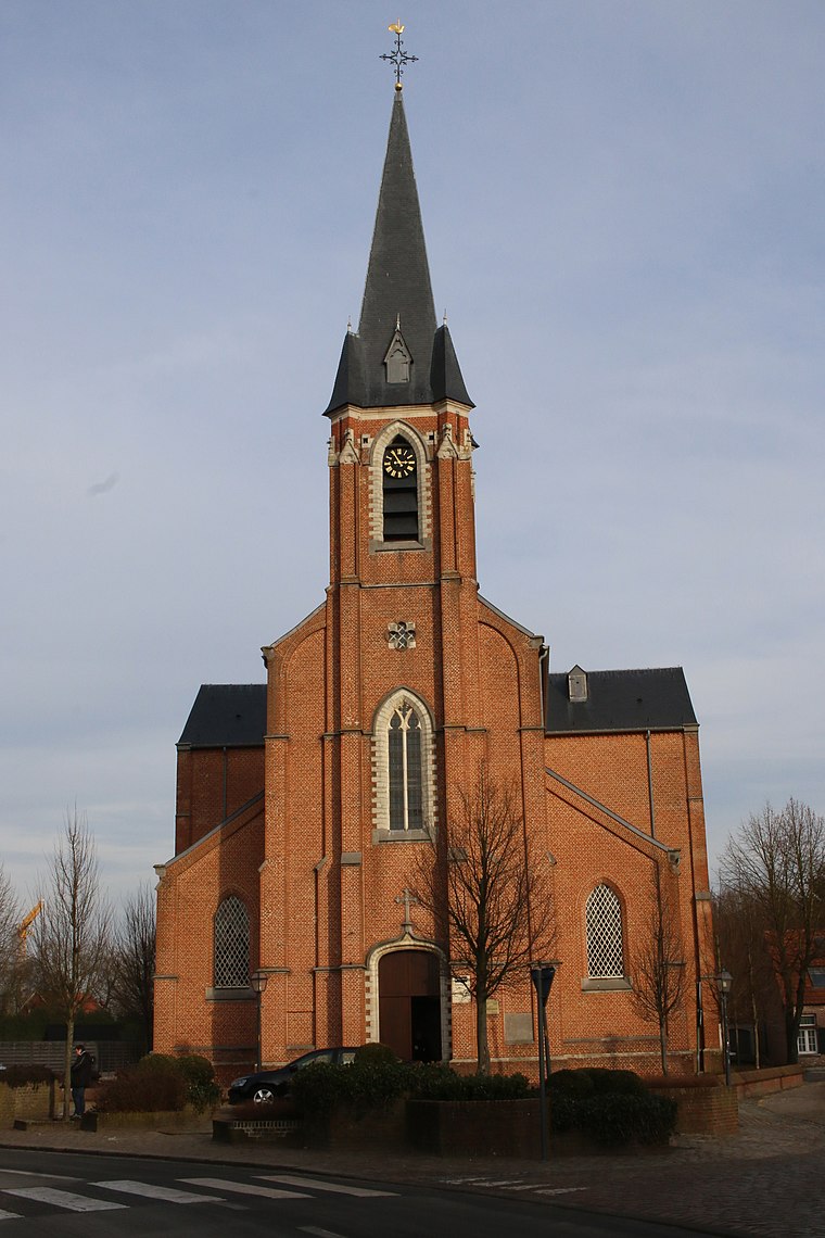
Photo: Sally V, CC BY-SA 4.0.
Sint-Gummaruskerk is a church, which is situated 1 km east of Fruitautomaat.
Kasteel Heidebloem
Manor estate
 Kasteel Heidebloem is a manor estate, which is situated 2 km south of Fruitautomaat.
Places in the Area
Nearby places include Emblem and Broechem.

Broechem
Village
Broechem is a part of the municipality of Ranst in Antwerp Province, Flemish Region, Belgium. The village is located on the highest point of the region.
Kessel
Village
Kessel is a town in the municipality of Nijlen in the province of Antwerp in Belgium. In 2006, the population was 7,207 inhabitants. Kessel is known for its tourist attractions, such as "de Kesselse Heide" and "Fort Kessel". Kessel is situated 3½ km southeast of Fruitautomaat.
Fruitautomaat
Latitude
51.16141° or 51° 9′ 41″ northLongitude
4.59214° or 4° 35′ 32″ eastOperator
LembiOpen location code
9F365H6R+HVOpenStreetMap ID
node 9781259385OpenStreetMap feature
shop=farm
This page is based on OpenStreetMap, Wikidata, and Wikimedia Commons.
We’d love your help improving our open data sources. Thank you for contributing.
Satellite Map
Discover Fruitautomaat from above in high-definition satellite imagery.
Notable Places Nearby
Highlights include TC Emblem and Racing Emblem.
Nearby Places
Explore places such as Emblem Tongelweg and Lambaerts Energy.
Antwerp: Must-Visit Destinations
Delve into Antwerp, Mechelen, Lier, and Turnhout.
Curious Farm Shops to Discover
Uncover intriguing farm shops from every corner of the globe.
About Mapcarta. Data © OpenStreetMap contributors and available under the Open Database License". Text is available under the CC BY-SA 4.0 license, except for photos, directions, and the map. Photo: Klaus with K, CC BY-SA 3.0.