Ayam Penyet President
Ayam Penyet President is a restaurant in Singapore. Ayam Penyet President is situated nearby to the food court Encik Tan, as well as near the water park Splash-N-Surf.| Tap on a place to explore it |
Places of Interest Nearby
Highlights include National Stadium and Kallang Wave Mall.
National Stadium
Stadium

Photo: Exec8, CC BY-SA 4.0.
The Singapore National Stadium is a multi-purpose stadium in Kallang, Singapore. It serves as the country's national stadium. Opened in 2014, it was constructed on the site of the former National Stadium, which stood from 1973 to 2010. National Stadium is situated 230 metres east of Ayam Penyet President.
Kallang Wave Mall
Shopping center
Kallang Wave Mall is a shopping mall which is part of the Singapore Sports Hub located at Kallang, Singapore. Kallang Wave Mall is situated 110 metres east of Ayam Penyet President.
Singapore Indoor Stadium
Stadium

Photo: Wikimedia, Copyrighted free use.
The Singapore Indoor Stadium, known exonymously as the Indoor Stadium, is an indoor arena located in Kallang, Singapore. It is within walking distance of the Singapore National Stadium, and collectively form a part of the wider Singapore Sports Hub. Singapore Indoor Stadium is situated 400 metres southeast of Ayam Penyet President.
Places in the Area
Nearby places include Tanjong Rhu and Kallang.
Tanjong Rhu
Quarter

Photo: Wikimedia, CC BY-SA 2.0.
Tanjong Rhu is a subzone within the planning area of Kallang, Singapore, as defined by the Urban Redevelopment Authority. The perimeter of Tanjong Rhu is made up of Nicoll Highway in the north; Mountbatten Road and Fort Road in the east; East Coast Parkway in the south; as well as Marina Channel and Kallang Basin in the west.
Kallang
Suburb
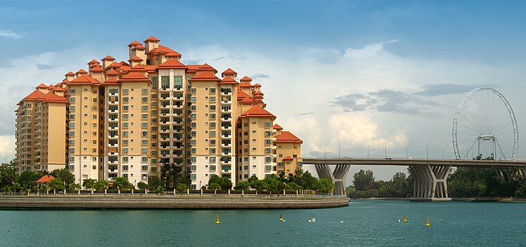
Photo: Wikimedia, CC BY-SA 2.0.
Kallang is a planning area and residential zone located in the Central Region of Singapore. Development of the town is centered around the Kallang River, the longest river in Singapore.
Crawford
Suburb
Crawford is a subzone within the planning area of Kallang, Singapore, as defined by the Urban Redevelopment Authority. Its perimeter is made up of Rochor River and Rochor Canal in the north; Crawford Street, Nicoll Highway, Kallang Basin and Marina Channel in the east; East Coast Parkway in the south; as well as Ophir Road, Beach Road and Jalan Sultan in the west.
Ayam Penyet President
- Type: Restaurant
- Category: food
- Location: Singapore, Southeast Asia, Asia
- View on OpenStreetMap
Latitude
1.30377° or 1° 18′ 14″ northLongitude
103.87235° or 103° 52′ 21″ eastOpen location code
6PH58V3C+GWOpenStreetMap ID
node 9942071359OpenStreetMap feature
amenity=restaurant
This page is based on OpenStreetMap, Wikidata, and Wikimedia Commons.
We’d love your help improving our open data sources. Thank you for contributing.
Satellite Map
Discover Ayam Penyet President from above in high-definition satellite imagery.
Notable Places Nearby
Highlights include Encik Tan and Splash-N-Surf.
Nearby Places
Explore places such as Chocolate Origin and Old Street Bak Kut Teh.
Singapore: Must-Visit Destinations
Delve into Singapore Changi Airport, Sentosa and Harbourfront, North and West, and Riverside.
Curious Restaurants to Discover
Uncover intriguing restaurants from every corner of the globe.
About Mapcarta. Data © OpenStreetMap contributors and available under the Open Database License". Text is available under the CC BY-SA 4.0 license, except for photos, directions, and the map. Photo: Khairul Nizam, CC BY 2.0.