Millbrow
Millbrow is a locality in Ulpha, Cumberland, England. Millbrow is situated nearby to the locality Whistling Green, as well as near Pike Wood.| Tap on a place to explore it |
Places of Interest
Highlights include Holme Cottage and Church of St John.
Holme Cottage
Residential building

Photo: Karl and Ali, CC BY-SA 2.0.
Holme Cottage is a residential building.
Stickle Pike
Peak

Photo: Rivaldo, CC BY-SA 3.0.
Stickle Pike is an outlying fell located in the southern Lake District near the small town of Broughton-in-Furness, with the summit situated between the lower Duddon Valley and the quiet smaller valley of Dunnerdale.
Places in the Area
Nearby places include Ulpha and Broughton Mills.
Ulpha
Village

Photo: John Holmes, CC BY-SA 2.0.
Ulpha is a small village and civil parish in the Duddon Valley in the Lake District National Park in Cumbria, England. Historically in Cumberland, it forms part of the Cumberland unitary authority area.
Broughton Mills
Hamlet

Photo: Andrew Hill, CC BY-SA 2.0.
Broughton Mills is a village in Cumbria, England, located 2 miles from the larger town of Broughton-in-Furness. The village consists of about 40 households, a phonebox, church and a pub called the Blacksmiths Arms. Broughton Mills is situated 2½ miles southeast of Millbrow.
Seathwaite
Village
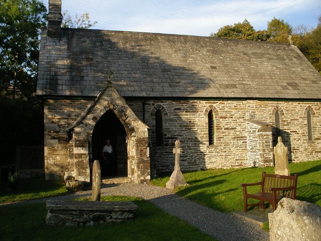
Photo: Gordon Mellor, CC BY-SA 2.0.
Seathwaite is a village in the Dunnerdale-with-Seathwaite civil parish in the Westmorland and Furness district of Cumbria in North West England. It is in the Lake District and part of historic Lancashire. Seathwaite is situated 3 miles northeast of Millbrow.
Millbrow
- Type: Locality
- Location: Ulpha, Cumberland, Cumbria, North West England, England, United Kingdom, Britain and Ireland, Europe
- View on OpenStreetMap
Latitude
54.32084° or 54° 19′ 15″ northLongitude
-3.24716° or 3° 14′ 50″ westOpen location code
9C6R8QC3+84OpenStreetMap ID
node 9974564791OpenStreetMap feature
place=locality
This page is based on OpenStreetMap, Wikidata, and Wikimedia Commons.
We’d love your help improving our open data sources. Thank you for contributing.
Satellite Map
Discover Millbrow from above in high-definition satellite imagery.
Places with the Same Name
Discover other places named “Millbrow”.
Localities in the Area
Explore places such as Whistling Green and Pike Wood.
Notable Places Nearby
Highlights include Beck Strands and Castle How.
Cumbria: Must-Visit Destinations
Delve into Carlisle, Barrow-in-Furness, Kendal, and Penrith.
Curious Localities to Discover
Uncover intriguing localities from every corner of the globe.
About Mapcarta. Data © OpenStreetMap contributors and available under the Open Database License". Text is available under the CC BY-SA 4.0 license, except for photos, directions, and the map. Photo: ramsd, CC BY 2.0.