Tsiporit Substation
Tsiporit Substation is an electrical substation in Northern District, Israel. Tsiporit Substation is situated nearby to the peak Har Hoshaya, as well as near the village Rumat al-Heib.| Tap on a place to explore it |
Places of Interest Nearby
Highlights include Har Hoshaya and Har Kayil.
Places in the Area
Nearby places include Rumat al-Heib and Beit Rimon.
Rumat al-Heib
Village

Photo: Wikimedia, CC BY-SA 3.0.
Rumat al-Heib is a Bedouin village in northern Israel. Located near Nazareth in the Lower Galilee, it falls under the jurisdiction of the al-Batuf Regional Council. In 2023 its population was 2,565.
Beit Rimon
Village

Photo: יעקב, CC BY-SA 3.0.
Beit Rimon is a kibbutz located in the Lower Galilee Regional Council in Israel. It consists of a core kibbutz and a residential expansion. It is located in the Lower Galilee on a ridge of Mount Tur'an at a height of 400 meters above sea level.
Hoshaya
Village
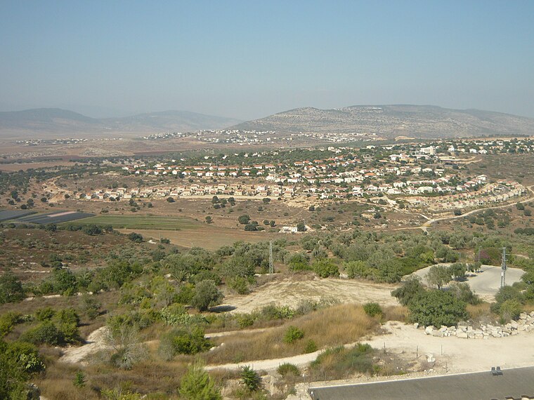
Photo: Almog, Public domain.
Hoshaya is a national-religious community in northern Israel. Located to the south-east of Shefa-'Amr, on Route 77 between Hamovil Interchange and the Golani Interchange, three kilometers from the Beit Rimon Interchange, it falls under the jurisdiction of Jezreel Valley Regional Council.
Tsiporit Substation
- Type: Electrical substation
- Category: industry
- Location: Northern District, Israel, Middle East, Asia
- View on OpenStreetMap
Latitude
32.76492° or 32° 45′ 54″ northLongitude
35.31641° or 35° 18′ 59″ eastOpen location code
8G4QQ878+XHOpenStreetMap ID
way 1023149347
This page is based on OpenStreetMap, Wikidata, and Wikimedia Commons.
We’d love your help improving our open data sources. Thank you for contributing.
Satellite Map
Discover Tsiporit Substation from above in high-definition satellite imagery.
Notable Places Nearby
Highlights include Camp Zipporit and Hosha’aya swimming pool.
Nearby Places
Explore places such as HaMerkava 4 and Tsiporit Industrial Zone Interchange.
Israel: Must-Visit Destinations
Delve into Tel Aviv, Carmel Range, Haifa, and Nazareth.
Curious Electrical Substations to Discover
Uncover intriguing electrical substations from every corner of the globe.
About Mapcarta. Data © OpenStreetMap contributors and available under the Open Database License". Text is available under the CC BY-SA 4.0 license, except for photos, directions, and the map. Photo: Bienchido, CC BY-SA 3.0.