Filipstad mobilitetspunkt
Filipstad mobilitetspunkt is in Oslo, Oslo region, Innlandet. Filipstad mobilitetspunkt is situated nearby to the pitch Skur 13, as well as near Trettenparken.| Tap on a place to explore it |
Places of Interest Nearby
Highlights include National Library and Embassy of Serbia.
National Library
Library

Photo: Nasjonalbiblioteket, No restrictions.
The National Library of Norway was established in 1989. Its principal task is "to preserve the past for the future". The library is located both in Oslo and in Mo i Rana. National Library is situated 480 metres north of Filipstad mobilitetspunkt.
Embassy of Serbia
Government office

Photo: Vinguru, CC BY-SA 3.0.
Embassy of Serbia is a government office, which is situated 150 metres northeast of Filipstad mobilitetspunkt.
Astrup Fearnley Museum of Modern Art
Museum
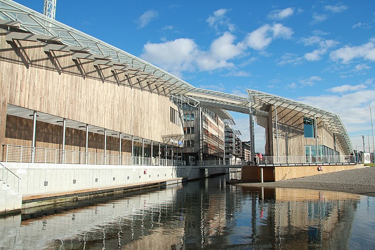
Photo: Vidariv, CC BY-SA 3.0.
The Astrup Fearnley Museum of Modern Art is a privately owned contemporary art gallery in Oslo in Norway. It was founded and opened to the public in 1993. Astrup Fearnley Museum of Modern Art is situated 350 metres south of Filipstad mobilitetspunkt.
Places in the Area
Nearby places include Filipstad and Tjuvholmen.
Filipstad
Suburb
Photo: Wikimedia, CC BY-SA 3.0.
Filipstad is a neighborhood in the Frogner borough in Oslo, Norway. It serves both as a major container port and ferry terminal for the city. The Oslo-Kiel ferry docks by the Hjortneskaia at Filipstad.
Tjuvholmen
Suburb
Photo: Helge Høifødt, CC BY-SA 3.0.
Tjuvholmen is a neighborhood in the borough Majorstuen in Oslo, Norway. It is located on a peninsula sticking out from Aker Brygge into the Oslofjord. It is located east of Filipstad and south of Vika.
Aker Brygge
Suburb

Photo: Cnyborg, CC BY-SA 3.0.
Aker Brygge, formerly known as Holmen, is a neighbourhood in central Oslo, Norway. Since the 1980s and 1990s, it has been a popular area for shopping, dining, and entertainment, as well as a high-end residential area. It was previously an industrial area.
Filipstad mobilitetspunkt
- Type: Carsharing
- Category: transportation
- Location: Oslo, Oslo region, East Norway, Alvdal, Innlandet, Norway, Nordic countries, Europe
- View on OpenStreetMap
Latitude
59.90992° or 59° 54′ 36″ northLongitude
10.71996° or 10° 43′ 12″ eastOperator
Ruter ASOpen location code
9FFGWP59+XXOpenStreetMap ID
way 1035064754OpenStreetMap feature
amenity=car_sharing
This page is based on OpenStreetMap, Wikidata, and Wikimedia Commons.
We’d love your help improving our open data sources. Thank you for contributing.
Satellite Map
Discover Filipstad mobilitetspunkt from above in high-definition satellite imagery.
Notable Places Nearby
Highlights include Skur 13 and Trettenparken.
Nearby Places
Explore places such as Modus Design AS and Filipstad brygge.
Oslo: Must-Visit Destinations
Delve into Sentrum, North Oslo, Inner North, and Inner East.
Curious Places to Discover
Uncover intriguing places from every corner of the globe.
About Mapcarta. Data © OpenStreetMap contributors and available under the Open Database License". Text is available under the CC BY-SA 4.0 license, except for photos, directions, and the map. Photo: Krakers, CC BY-SA 4.0.