Pritchett’s Spring
Pritchett’s Spring is a forest in Takeley, Uttlesford District, England. Pritchett’s Spring is situated nearby to the village Molehill Green, as well as near the hamlet Chapel End.| Tap on a place to explore it |
Places of Interest
Highlights include London Stansted Airport and Stansted Airport railway station.
London Stansted Airport
 London Stansted Airport is London's third airport. Despite bearing London's name, it is actually in Essex, about 30 mi north of the capital. There are coaches and direct express trains into The City and Victoria Coach Station in London all day and overnight.
Stansted Airport railway station
Railway station

Photo: Avocet, Public domain.
Stansted Airport railway station is a railway station serving London Stansted Airport in Essex, England. The terminus of a dedicated branch line off the West Anglia Main Line, the station is 36 miles 67 chains down the line from London Liverpool Street station, to which a dedicated service called the Stansted Express operates.
Elsenham railway station
Railway station
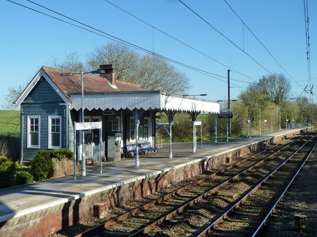
Photo: Robin Webster, CC BY-SA 2.0.
Elsenham railway station is found on the West Anglia Main Line, serving the village of Elsenham in Essex, England. It is 35 miles 45 chains down the line from London Liverpool Street, and is situated between Stansted Mountfitchet and Newport stations.
Places in the Area
Nearby places include Stansted Mountfitchet and Henham.
Stansted Mountfitchet

Photo: Adrian Cable, CC BY-SA 2.0.
Stansted Mountfitchet is an English village and civil parish in Uttlesford district, Essex, near the Hertfordshire border, 35 miles north of London. According to the 2001 census it had a population of 5,533, increasing to 6,011 at the 2011 census.
Henham
Village

Photo: TeskeyUK, CC BY-SA 4.0.
Henham, or Henham-on-the-Hill is a village and civil parish in the Uttlesford district of Essex, England. The village is situated 2.5 miles north from London Stansted Airport.
Cherry Green
Hamlet

Photo: David Morgan, CC BY-SA 2.0.
Cherry Green or Chaureth Green is a hamlet in the civil parish of Broxted and the Uttlesford district of Essex, England. The hamlet is 1.5 miles north from the parish village of Broxted, 2.5 miles west from the town of Thaxted, and 16 miles northwest from the county town of Chelmsford.
Pritchett’s Spring
- Type: Forest
- Location: Takeley, Uttlesford District, Essex, East of England, England, United Kingdom, Britain and Ireland, Europe
- View on OpenStreetMap
Latitude
51.8999° or 51° 53′ 60″ northLongitude
0.2624° or 0° 15′ 45″ eastOpen location code
9F32V7X6+XWOpenStreetMap ID
way 1040065961OpenStreetMap feature
landuse=forest
This page is based on OpenStreetMap, Wikidata, and Wikimedia Commons.
We’d love your help improving our open data sources. Thank you for contributing.
Satellite Map
Discover Pritchett’s Spring from above in high-definition satellite imagery.
Localities in the Area
Explore places such as Molehill Green and Chapel End.
Notable Places Nearby
Highlights include Eastend Wood and Three Horseshoes Public House.
Essex: Must-Visit Destinations
Delve into Colchester, Chelmsford, Southend-on-Sea, and Basildon.
Curious Forests to Discover
Uncover intriguing forests from every corner of the globe.
About Mapcarta. Data © OpenStreetMap contributors and available under the Open Database License". Text is available under the CC BY-SA 4.0 license, except for photos, directions, and the map. Photo: Wikimedia, CC0.