Sipke Casteleinbrêge
Sipke Casteleinbrêge is a bridge in Friesland, Northern Netherlands. Sipke Casteleinbrêge is situated nearby to the power station Zonnepark Blitsaerd, as well as near the climbing site Survival Vereniging Leeuwarden.| Tap on a place to explore it |
Places of Interest Nearby
Highlights include Lieuwenburgzoom and Aquaboot.
Lieuwenburgzoom
Park

Photo: Ytzen, CC BY-SA 3.0.
Lieuwenburgzoom is a park, which is situated 1 km south of Sipke Casteleinbrêge.
Aquaboot
Work of art

Photo: Ytzen, CC BY-SA 3.0.
Aquaboot is a work of art, which is situated 460 metres south of Sipke Casteleinbrêge.
De Bullemolen, Lekkum
Windmill

Photo: Quistnix, CC BY-SA 3.0.
De Bullemolen English: The Executioner's Mill is a smock mill in Lekkum, Friesland, Netherlands which was built in 1825. The mill has been restored to working order and is listed as a Rijksmonument, number 24505. De Bullemolen, Lekkum is situated 770 metres northwest of Sipke Casteleinbrêge.
Places in the Area
Nearby places include Miedum and Lekkum.
Miedum
Hamlet

Photo: Baykedevries, CC BY-SA 3.0.
Miedum is a hamlet in Leeuwarden municipality in the province of Friesland, the Netherlands. The height of the leaning tower of Miedum is 14 metres. The approximate tilt at the top of the tower is 115 centimetres.
Lekkum
Village
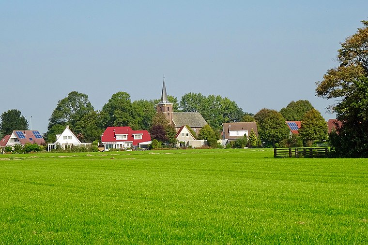
Photo: Gouwenaar, CC BY-SA 4.0.
Lekkum is a village in Leeuwarden municipality in the Friesland province of the Netherlands. It had a population of around 405 in January 2017. De Bullemolen in Lekkum marks the finishing point of the Elfstedentocht.
Snakkerburen
Village

Photo: Jan dijkstra, CC BY-SA 4.0.
Snakkerburen is a village in Leeuwarden municipality in the province of Friesland, the Netherlands. It had a population of around 225 in January 2017. Snakkerburen is situated 2½ km west of Sipke Casteleinbrêge.
Sipke Casteleinbrêge
- Type: Bridge
- Category: transportation
- Location: Friesland, Northern Netherlands, Netherlands, Benelux, Europe
- View on OpenStreetMap
Latitude
53.21735° or 53° 13′ 3″ northLongitude
5.84875° or 5° 50′ 56″ eastOpen location code
9F576R8X+WFOpenStreetMap ID
way 1041199370OpenStreetMap feature
man_made=bridge
This page is based on OpenStreetMap, Wikidata, and Wikimedia Commons.
We’d love your help improving our open data sources. Thank you for contributing.
Satellite Map
Discover Sipke Casteleinbrêge from above in high-definition satellite imagery.
Notable Places Nearby
Highlights include Zonnepark Blitsaerd and Survival Vereniging Leeuwarden.
Nearby Places
Explore places such as Dotingastate and Elfsteden Finishboog.
Friesland: Must-Visit Destinations
Delve into Leeuwarden, Heerenveen, Sneek, and Harlingen.
Curious Bridges to Discover
Uncover intriguing bridges from every corner of the globe.
About Mapcarta. Data © OpenStreetMap contributors and available under the Open Database License". Text is available under the CC BY-SA 4.0 license, except for photos, directions, and the map. Photo: WiDi, CC BY-SA 3.0.