Dancing Karrewiel
Dancing Karrewiel is a nightclub in Bilzen-Hoeselt, Arrondissement of Tongeren, Flanders which is located on Grote Zapstraat. Dancing Karrewiel is situated nearby to the pitch Healing horses vzw, as well as near the cemetery Begraafplaats Hoeselt.| Tap on a place to explore it |
Places of Interest Nearby
Highlights include Kasteel Weyer and Kasteel de Brouckmans.
Kasteel Weyer
Castle

Photo: Eebie, CC BY-SA 4.0.
Kasteel Weyer is a castle, which is situated 510 metres northeast of Dancing Karrewiel.
Kasteel de Brouckmans
Castle

Photo: Paul Hermans, CC BY-SA 3.0.
Kasteel de Brouckmans is a castle, which is situated 580 metres northwest of Dancing Karrewiel.
Sint-Stephanuskerk
Church

Photo: Paul Hermans, CC BY-SA 3.0.
Sint-Stephanuskerk is a church, which is situated 490 metres northwest of Dancing Karrewiel.
Places in the Area
Nearby places include Hoeselt and Rijkhoven.
Hoeselt
Village
Photo: Paul Hermans, CC BY-SA 3.0.
Hoeselt is a former municipality located in the Belgian province of Limburg. On January 1, 2018, Hoeselt had a total population of 9,685. The total area is 30.02 km.
Rijkhoven
Village
Rijkhoven is a village in the Bilzen municipality of the Limburg province in the Flemish Community of Belgium.
Merem
Hamlet
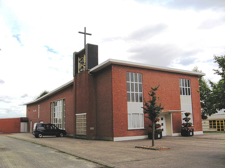
Photo: Sonuwe, CC BY-SA 3.0.
Merem is a hamlet, which is situated 2½ km north of Dancing Karrewiel.
Dancing Karrewiel
- Type: Nightclub
- Address: Grote Zapstraat 40
- Category: building
- Location: Bilzen-Hoeselt, Arrondissement of Tongeren, Limburg, Flanders, Belgium, Benelux, Europe
- View on OpenStreetMap
Latitude
50.84662° or 50° 50′ 48″ northLongitude
5.4921° or 5° 29′ 32″ eastOpen location code
9F27RFWR+JROpenStreetMap ID
way 1047140523OpenStreetMap feature
amenity=nightclubOpenStreetMap feature
building=yes
This page is based on OpenStreetMap, Wikidata, and Wikimedia Commons.
We’d love your help improving our open data sources. Thank you for contributing.
Satellite Map
Discover Dancing Karrewiel from above in high-definition satellite imagery.
Notable Places Nearby
Highlights include Healing horses vzw and Begraafplaats Hoeselt.
Nearby Places
Explore places such as Hotel Monte Christo and Apotheek Jorissen.
Limburg: Must-Visit Destinations
Delve into Sint-Truiden, Hasselt, Tongeren, and Genk.
Curious Nightclubs to Discover
Uncover intriguing nightclubs from every corner of the globe.
About Mapcarta. Data © OpenStreetMap contributors and available under the Open Database License". Text is available under the CC BY-SA 4.0 license, except for photos, directions, and the map. Photo: Paul Hermans, CC BY-SA 3.0.