IPAB Ferrari
IPAB Ferrari is a hospital in Ceprano, Frosinone, Lazio. IPAB Ferrari is situated nearby to the square Piazza Martiri di Via Fani, as well as near the police station Polizia Municipale.| Tap on a place to explore it |
Places of Interest Nearby
Highlights include Liri and Fregellae.
Liri
River
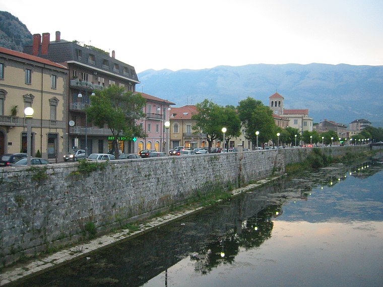
Photo: Pbenacqu, CC BY-SA 3.0.
The Liri is one of the principal rivers of central Italy, flowing into the Tyrrhenian Sea a little below Minturno under the name Garigliano.
Fregellae
Ruins

Photo: Torquatus, CC BY-SA 4.0.
Fregellae was an ancient town of Latium adiectum, situated on the Via Latina between Aquinum and Frusino, in central Italy, near the left branch of the Liris. Fregellae is situated 2 km southeast of IPAB Ferrari.
Roman baths of Fregellae
Ruins
Photo: Torquatus, CC BY-SA 4.0.
Roman baths of Fregellae is a ruins, which is situated 2 km southeast of IPAB Ferrari.
Places in the Area
Nearby places include Isoletta and Falvaterra.
Isoletta
Hamlet
Isoletta is a village in Italy, in the Valle Latina within the Arce municipality. Isoletta is located in the province of Frosinone, of the southern Lazio region in Italy. Isoletta is situated 3 km southeast of IPAB Ferrari.
Falvaterra
Village

Photo: Augusto carè, CC BY-SA 4.0.
Falvaterra is a comune in the Province of Frosinone in the Italian region Lazio, located about 100 kilometres southeast of Rome and about 20 kilometres southeast of Frosinone. Falvaterra is situated 4½ km south of IPAB Ferrari.
San Giovanni Incarico
Village

Photo: Rickyfrederic, CC BY-SA 4.0.
San Giovanni Incarico is a comune in the Province of Frosinone in the Italian region Lazio, located about 100 kilometres southeast of Rome and about 20 km southeast of Frosinone. San Giovanni Incarico is situated 6 km southeast of IPAB Ferrari.
IPAB Ferrari
- Type: Hospital
- Category: health care
- Location: Ceprano, Frosinone, Lazio, Central Italy, Italy, Europe
- View on OpenStreetMap
Latitude
41.54507° or 41° 32′ 42″ northLongitude
13.51873° or 13° 31′ 7″ eastOpen location code
8FHMGGW9+2FOpenStreetMap ID
way 1049347825OpenStreetMap feature
amenity=hospitalOpenStreetMap feature
healthcare=hospital
This page is based on OpenStreetMap, Wikidata, and Wikimedia Commons.
We’d love your help improving our open data sources. Thank you for contributing.
Satellite Map
Discover IPAB Ferrari from above in high-definition satellite imagery.
Notable Places Nearby
Highlights include Piazza Martiri di Via Fani and Polizia Municipale.
Nearby Places
Explore places such as AVIS Ceprano and Casa della salute.
Curious Places to Discover
Uncover intriguing places from every corner of the globe.
About Mapcarta. Data © OpenStreetMap contributors and available under the Open Database License". Text is available under the CC BY-SA 4.0 license, except for photos, directions, and the map. Photo: Wikimedia, CC0.