Lower Cloak
Lower Cloak is a farm in Orkney Islands, Scotland. Lower Cloak is situated nearby to the archaeological site Kirk Green Chapel and Burial Ground (site - Medieval), as well as near Burnt Mound (Prehistoric).| Tap on a place to explore it |
Places of Interest Nearby
Highlights include Sabiston Mill, Dounby and Kirbuster Farm Museum.
Sabiston Mill, Dounby
Watermill

Photo: Andy Farrington, CC BY-SA 2.0.
Sabiston Mill, Dounby is a watermill, which is situated 1 mile southwest of Lower Cloak.
Kirbuster Farm Museum
Museum

Photo: Otter, CC BY-SA 3.0.
Kirbuster Farm Museum is situated 2 miles northwest of Lower Cloak.
Dounby Click Mill
Watermill

Photo: Colin Smith, CC BY-SA 2.0.
Dounby Click Mill is a mill located on the Mainland of Orkney, in Scotland. It is the last of the horizontal or "Norse" watermills of Orkney still in working order. Dounby Click Mill is situated 2 miles east of Lower Cloak.
Places in the Area
Nearby places include Dounby and Twatt.
Dounby
Village

Photo: Stephen McKay, CC BY-SA 2.0.
Dounby is a village on Mainland in Orkney, in the north of Scotland. Dounby village is situated at the crossroads of what are now the A986 and B9057, and has grown close to the meeting point of the three parishes of Sandwick, Birsay and Harray.
Twatt
Village

Photo: J M Briscoe, CC BY-SA 2.0.
Twatt is a settlement in the parish of Birsay on the Mainland of Orkney, Scotland. It was previously the location of RNAS Twatt, from 1940–1949. Twatt is situated at the junction of the A986 and the A967. Twatt is situated 2 miles northwest of Lower Cloak.
Harray
Village
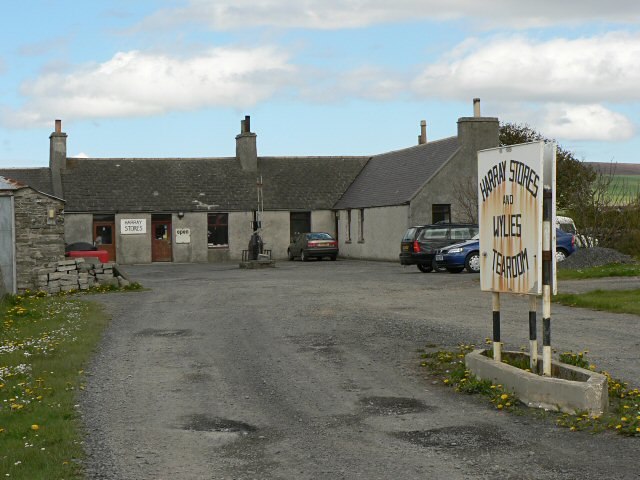
Photo: Wikimedia, CC BY-SA 2.0.
Harray is an Orcadian parish and village on Mainland, Orkney, Scotland, United Kingdom. The village is near the Loch of Harray and was used by the Vikings for waterway transportation and Old Norse was spoken in the area up until the 1700s. Harray is situated 3½ miles southeast of Lower Cloak.
Lower Cloak
- Type: Farm
- Category: agriculture
- Location: Orkney Islands, Scotland, United Kingdom, Britain and Ireland, Europe
- View on OpenStreetMap
Latitude
59.08487° or 59° 5′ 6″ northLongitude
-3.23237° or 3° 13′ 57″ westOpen location code
9CFR3QM9+W3OpenStreetMap ID
way 1077972462OpenStreetMap feature
landuse=farmyard
This page is based on OpenStreetMap, Wikidata, and Wikimedia Commons.
We’d love your help improving our open data sources. Thank you for contributing.
Satellite Map
Discover Lower Cloak from above in high-definition satellite imagery.
Notable Places Nearby
Highlights include Kirk Green Chapel and Burial Ground (site - Medieval) and Burnt Mound (Prehistoric).
Nearby Places
Explore places such as East Cloke and Nether Fea.
Orkney Islands: Must-Visit Destinations
Delve into Kirkwall, Stromness, Hoy, and Shapinsay.
Curious Farms to Discover
Uncover intriguing farms from every corner of the globe.
About Mapcarta. Data © OpenStreetMap contributors and available under the Open Database License". Text is available under the CC BY-SA 4.0 license, except for photos, directions, and the map. Photo: Massimo Telò, CC BY-SA 3.0.