Largo Iavicoli
Largo Iavicoli is a square in San Vito Chietino, Chieti, Abruzzo. Largo Iavicoli is situated nearby to the theater building Teatro Due Pini, as well as near the square Largo Antonia Gramsci.| Tap on a place to explore it |
Places of Interest Nearby
Highlights include San Vito-Lanciano railway station and San Vito Martire.
San Vito-Lanciano railway station
Railway station

Photo: Raboe001, CC BY-SA 3.0 de.
San Vito-Lanciano railway station is situated 460 metres northwest of Largo Iavicoli.
San Vito Martire
Church

Photo: Raboe001, CC BY-SA 3.0 de.
San Vito Martire is a church, which is situated 260 metres south of Largo Iavicoli.
San Vito-Lanciano old train station
Building

Photo: Wikimedia, CC BY-SA 3.0.
San Vito-Lanciano old train station is a building, which is situated 510 metres northeast of Largo Iavicoli.
Places in the Area
Nearby places include Rocca San Giovanni and Ortona.
Rocca San Giovanni
Village
 Rocca San Giovanni is a comune and town in the province of Chieti in the Abruzzo region of Italy. It is one of I Borghi più belli d'Italia. Rocca San Giovanni is situated 6 km south of Largo Iavicoli.
Ortona
Town

Photo: Zitumassin, CC BY-SA 3.0.
Ortona is a coastal town and municipality of the Province of Chieti in the Italian region of Abruzzo, with some 23,000 inhabitants. In 1943, Ortona was the site of the bloody Battle of Ortona, known as "Western Stalingrad". Ortona is situated 6 km northwest of Largo Iavicoli.
Caldari
Suburb
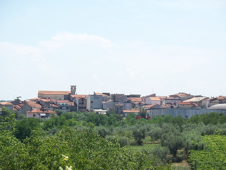
Photo: Andreach90, Public domain.
Caldari is a frazione of the municipality of Ortona in the Province of Chieti in Abruzzo, Italy. Some families that originate from Caldari include the DiIenno, Dragani, Tenaglia, Petrangelo, D'Annible, Gaeta, Mennicucci, Di Ienno, Di Nunzio, Natale, Vedilei, Cieri and Nasuti families. Caldari is situated 7 km west of Largo Iavicoli.
Largo Iavicoli
- Type: Square
- Category: locality
- Location: San Vito Chietino, Chieti, Abruzzo, Central Italy, Italy, Europe
- View on OpenStreetMap
Latitude
42.30306° or 42° 18′ 11″ northLongitude
14.4455° or 14° 26′ 44″ eastOpen location code
8FJP8C3W+65OpenStreetMap ID
way 1093977886OpenStreetMap feature
place=square
This page is based on OpenStreetMap, Wikidata, and Wikimedia Commons.
We’d love your help improving our open data sources. Thank you for contributing.
Satellite Map
Discover Largo Iavicoli from above in high-definition satellite imagery.
Notable Places Nearby
Highlights include Teatro Due Pini and Largo Carlo Altobelli.
Nearby Places
Explore places such as Scalini and Scuola Primaria San Vito Capoluogo.
Chieti: Must-Visit Destinations
Delve into Chieti, Vasto, and Roccamontepiano.
Curious Squares to Discover
Uncover intriguing squares from every corner of the globe.
About Mapcarta. Data © OpenStreetMap contributors and available under the Open Database License". Text is available under the CC BY-SA 4.0 license, except for photos, directions, and the map. Photo: maury3001, CC BY 3.0.