Bramley Mill S/S
Bramley Mill S/S is an electrical substation in Bramley, Waverley District, England. Bramley Mill S/S is situated nearby to the garden Bramley Pound, as well as near The Church of Holy Trinity.| Tap on a place to explore it |
Places of Interest Nearby
Highlights include The Church of Holy Trinity and St Catherine’s School.
The Church of Holy Trinity
Church

Photo: Hassocks5489, CC0.
The Church of Holy Trinity is situated 1,100 feet northeast of Bramley Mill S/S.
St Catherine’s School
School

Photo: Uhooep, CC BY-SA 4.0.
St Catherine's School is an independent girls' boarding and day school in the village of Bramley, near Guildford, Surrey, England. The school is divided into a senior school, for ages 11–18, and a preparatory school for girls aged 3–11. St Catherine’s School is situated 1,800 feet northeast of Bramley Mill S/S.
Church of St John the Baptist
Church

Photo: Hassocks5489, CC0.
Church of St John the Baptist is situated 3,100 feet northeast of Bramley Mill S/S.
Places in the Area
Nearby places include Shalford and Farncombe.
Shalford
Village
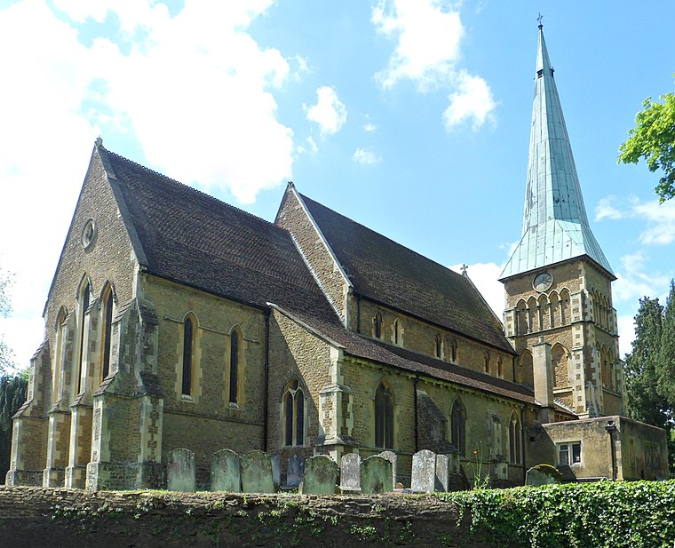
Photo: Hassocks5489, CC0.
Shalford is a village and civil parish in the Guildford district, in Surrey, England on the A281 Horsham road immediately south of Guildford. It has a railway station which is between Guildford and Dorking on the Reading to Gatwick Airport line.
Farncombe
Suburb

Photo: Wikimedia, CC BY-SA 2.0.
Farncombe, historically Fernecome, is a village and peripheral settlement of Godalming in Waverley, Surrey, England and is approximately 0.8 miles north-east of the Godalming centre, separated by common land known as the Lammas Lands. Farncombe is situated 2 miles west of Bramley Mill S/S.
Chilworth
Village

Photo: Colin Smith, CC BY-SA 2.0.
Chilworth is a village in the Guildford borough of Surrey, England. It is located in the Tillingbourne valley, southeast of Guildford. Chilworth is situated 2 miles northeast of Bramley Mill S/S.
Bramley Mill S/S
- Type: Electrical substation
- Category: industry
- Location: Bramley, Waverley District, Surrey, South East England, England, United Kingdom, Britain and Ireland, Europe
- View on OpenStreetMap
Latitude
51.19281° or 51° 11′ 34″ northLongitude
-0.56188° or 0° 33′ 43″ westOpen location code
9C3X5CVQ+46OpenStreetMap ID
way 1094338528
This page is based on OpenStreetMap, Wikidata, and Wikimedia Commons.
We’d love your help improving our open data sources. Thank you for contributing.
Satellite Map
Discover Bramley Mill S/S from above in high-definition satellite imagery.
Notable Places Nearby
Highlights include Bramley Pound and Bramley Library.
Nearby Places
Explore places such as Bramley Grange and The Jolly Farmer.
Surrey: Must-Visit Destinations
Delve into Guildford, Woking, Godalming, and Epsom.
Curious Electrical Substations to Discover
Uncover intriguing electrical substations from every corner of the globe.
About Mapcarta. Data © OpenStreetMap contributors and available under the Open Database License". Text is available under the CC BY-SA 4.0 license, except for photos, directions, and the map. Photo: Wikimedia, CC0.