Calvaire d’Antoing
Calvaire d’Antoing is a wayside cross in Saint-Ghislain, Arrondissement of Mons, Wallonia. Calvaire d’Antoing is situated nearby to the church Église Saint-Martin, as well as near the grassland Aire de dispersion des cendres.| Tap on a place to explore it |
Places in the Area
Nearby places include Huissignies and Stambruges.
Huissignies
Village
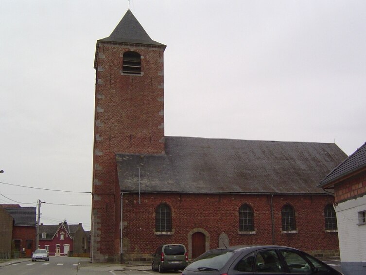
Photo: Laika, CC BY-SA 3.0.
Huissignies is a village, which is situated 4½ km northwest of Calvaire d’Antoing.
Stambruges
Village

Photo: Jean-Pol GRANDMONT, CC BY 3.0.
Stambruges is a village, which is situated 6 km southwest of Calvaire d’Antoing.
Hautrage
Village

Photo: Jean-Pol GRANDMONT, CC BY-SA 3.0.
Hautrage is a village, which is situated 6 km south of Calvaire d’Antoing.
Calvaire d’Antoing
- Type: Wayside cross
- Categories: building and historic site
- Location: Saint-Ghislain, Arrondissement of Mons, Hainaut, Wallonia, Belgium, Benelux, Europe
- View on OpenStreetMap
Latitude
50.53467° or 50° 32′ 5″ northLongitude
3.79501° or 3° 47′ 42″ eastOpen location code
9F25GQMW+V2OpenStreetMap ID
way 1097462024OpenStreetMap feature
building=yesOpenStreetMap feature
historic=wayside_cross
This page is based on OpenStreetMap, Wikidata, and Wikimedia Commons.
We’d love your help improving our open data sources. Thank you for contributing.
Satellite Map
Discover Calvaire d’Antoing from above in high-definition satellite imagery.
Notable Places Nearby
Highlights include Église Saint-Martin and Aire de dispersion des cendres.
Nearby Places
Explore places such as Neufmaison Maréchal Ferrant and Ferme Jean.
Hainaut: Must-Visit Destinations
Delve into Charleroi, Mons, Tournai, and La Louvière.
Curious Wayside Crosses to Discover
Uncover intriguing wayside crosses from every corner of the globe.
About Mapcarta. Data © OpenStreetMap contributors and available under the Open Database License". Text is available under the CC BY-SA 4.0 license, except for photos, directions, and the map. Photo: Jean-Pol GRANDMONT, CC BY-SA 3.0.