Esplanade Maurice-Denis
Esplanade Maurice-Denis is in Croissy-sur-Seine, Arrondissement of Saint-Germain-en-Laye, Île-de-France. Esplanade Maurice-Denis is situated nearby to the hospital Hôpital du Vésinet, as well as near the park Parc Robert de Montesquiou.| Tap on a place to explore it |
Places of Interest Nearby
Highlights include Le Vésinet–Centre station and Machine de Marly.
Le Vésinet–Centre station
Railway station

Photo: Henrysalome, CC BY-SA 4.0.
Le Vésinet–Centre station is a railway station in Le Vésinet, a suburb about 16 kilometres west of central Paris. Vésinet–Centre station uses a basic RER station setup with two tracks and two side platforms. Le Vésinet–Centre station is situated 1 km north of Esplanade Maurice-Denis.
Machine de Marly

Photo: Clicgauche, CC BY-SA 3.0.
The Machine de Marly, also known as the Marly Machine or the Machine of Marly, was a large hydraulic system in Yvelines, France, built in 1684 to pump water from the river Seine and deliver it to the Palace of Versailles. Machine de Marly is situated 1½ km south of Esplanade Maurice-Denis.
Île de la Loge
Islet
 Île de la Loge is an islet, which is situated 1 km southwest of Esplanade Maurice-Denis.
Places in the Area
Nearby places include Le Vésinet and Le Port-Marly.
Le Vésinet
Town

Photo: Henrysalome, CC BY-SA 4.0.
Le Vésinet is a suburban commune in the Yvelines department in the Île-de-France region in north-central France. It is a part of the affluent outer suburbs of western Paris, 16.4 km from the centre of Paris.
Le Port-Marly
Village

Photo: Chabe01, CC BY-SA 4.0.
Le Port-Marly is a commune in the outer western suburbs of Paris, France. It is located in the Yvelines department in the Île-de-France region, north of Versailles. In 2019, Le Port-Marly had a population of 5,481.
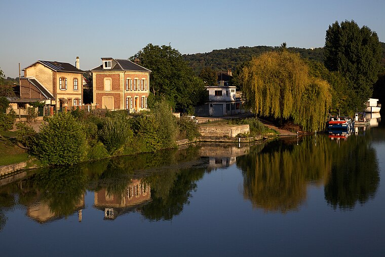
Bougival
Village

Photo: Wikimedia, CC BY-SA 3.0.
Bougival is a suburban commune in the Yvelines department in the Île-de-France region in Northern France. It is located 15.3 km west from the centre of Paris, on the left bank of the River Seine, on the departmental border with Hauts-de-Seine.
Esplanade Maurice-Denis
Latitude
48.88223° or 48° 52′ 56″ northLongitude
2.13191° or 2° 7′ 55″ eastOpen location code
8FW4V4JJ+VQOpenStreetMap ID
way 1112730025OpenStreetMap feature
highway=pedestrian
This page is based on OpenStreetMap, Wikidata, and Wikimedia Commons.
We’d love your help improving our open data sources. Thank you for contributing.
Satellite Map
Discover Esplanade Maurice-Denis from above in high-definition satellite imagery.
Notable Places Nearby
Highlights include Hôpital du Vésinet and Parc Robert de Montesquiou.
Nearby Places
Explore places such as Crèche de la Princesse and Mini-crèche Eugénie.
Île-de-France: Must-Visit Destinations
Delve into Paris, Versailles, Boulogne-Billancourt, and Paris Charles de Gaulle Airport.
Curious Places to Discover
Uncover intriguing places from every corner of the globe.
About Mapcarta. Data © OpenStreetMap contributors and available under the Open Database License". Text is available under the CC BY-SA 4.0 license, except for photos, directions, and the map. Photo: Inkey, CC BY-SA 3.0.