Nordre brakkestokk
Nordre brakkestokk is a building in Oslo Municipality, Oslo, Innlandet. Nordre brakkestokk is situated nearby to the government office Ministry of Defence, as well as near Office of the Prime Minister.| Tap on a place to explore it |
Places of Interest Nearby
Highlights include Armed Forces Museum and Oslo Opera House.
Armed Forces Museum
Museum

Photo: Mahlum, Public domain.
The Armed Forces Museum of Norway is a museum located at Akershus Fortress in Oslo, Norway. Previously it was named Hærmuseet, The Army Museum. The museum consists of mostly army materiel. Armed Forces Museum is situated 180 metres south of Nordre brakkestokk.
Oslo Opera House
Theater building

Photo: Krakers, CC BY-SA 4.0.
The Oslo Opera House is the home of the Norwegian National Opera and Ballet, and the national opera house in Norway. The building is situated in the Bjørvika neighbourhood of central Oslo, at the head of the Oslofjord. Oslo Opera House is situated 660 metres east of Nordre brakkestokk.
Munch Museum
Museum
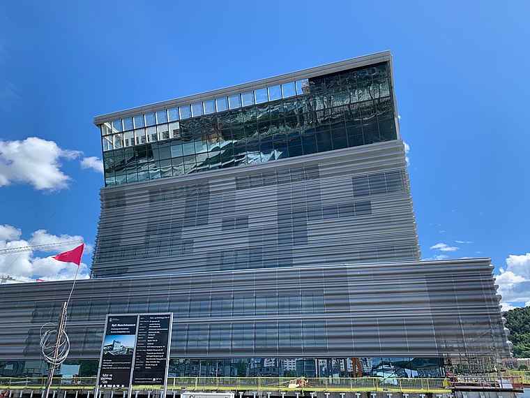
Photo: Annikdance, CC BY-SA 4.0.
Munch Museum, marketed as Munch since 2020, is an art museum in Bjørvika, Oslo, Norway dedicated to the life and works of the Norwegian artist Edvard Munch. Munch Museum is situated 780 metres east of Nordre brakkestokk.
Places in the Area
Nearby places include Sentrum and Kvadraturen.
Sentrum

Photo: Pudelek, CC BY-SA 4.0.
Sentrum, literally Centre, is the core of Oslo inside the first ring road, plus the area around the Royal Palace and Tjuvholmen island. This is the area around Oslo's main street, Karl Johan street, and the Akershus fortress overlooking the harbour and the great Oslo fjord.

Bjørvika
Suburb

Photo: jorneriksson, CC BY 2.0.
Bjørvika is a neighborhood in the Sentrum borough of Oslo, Norway. The area is an inlet in the inner Oslofjord, situated between Gamlebyen and Akershus Fortress.
Nordre brakkestokk
- Type: Building
- Roof shape: hipped
- Location: Oslo Municipality, Oslo, Oslo region, East Norway, Alvdal, Innlandet, Norway, Nordic countries, Europe
- View on OpenStreetMap
Latitude
59.90608° or 59° 54′ 22″ northLongitude
10.74123° or 10° 44′ 28″ eastLevels
1Height
7 metres (23 feet)Open location code
9FFGWP4R+CFOpenStreetMap ID
way 111843190OpenStreetMap feature
building=yesOpenStreetMap attribute
roof-shape=hipped
This page is based on OpenStreetMap, Wikidata, and Wikimedia Commons.
We’d love your help improving our open data sources. Thank you for contributing.
Satellite Map
Discover Nordre brakkestokk from above in high-definition satellite imagery.
Notable Places Nearby
Highlights include Ministry of Defence and Verkstedgården.
Nearby Places
Explore places such as Midtre brakkestokk and Søndre brakkestokk.
Oslo: Must-Visit Destinations
Delve into Sentrum, North Oslo, Inner North, and Inner East.
Curious Buildings to Discover
Uncover intriguing buildings from every corner of the globe.
About Mapcarta. Data © OpenStreetMap contributors and available under the Open Database License". Text is available under the CC BY-SA 4.0 license, except for photos, directions, and the map. Photo: Krakers, CC BY-SA 4.0.