Technische Oefeningen
Technische Oefeningen is a hangar in Ranst, Arrondissement of Antwerp, Flanders. Technische Oefeningen is situated nearby to the college Campus Vesta, as well as near Fort van Broechem.| Tap on a place to explore it |
Places of Interest Nearby
Highlights include Onze-Lieve-Vrouwekerk and Sint-Gummaruskerk.
Onze-Lieve-Vrouwekerk
Church

Photo: Wdelaet, Public domain.
Onze-Lieve-Vrouwekerk is a church, which is situated 1¼ km northwest of Technische Oefeningen.
Sint-Gummaruskerk
Church
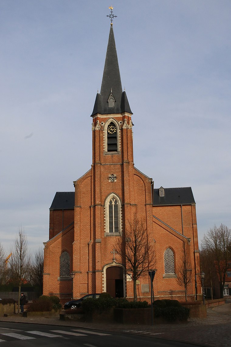
Photo: Sally V, CC BY-SA 4.0.
Sint-Gummaruskerk is a church, which is situated 1½ km south of Technische Oefeningen.
Sint-Gummaruskapel
Church

Photo: Sally V, CC BY-SA 4.0.
Sint-Gummaruskapel is a church, which is situated 2 km southwest of Technische Oefeningen.
Places in the Area
Nearby places include Broechem and Emblem.
Broechem
Village
Broechem is a part of the municipality of Ranst in Antwerp Province, Flemish Region, Belgium. The village is located on the highest point of the region.

Nijlen
Town

Photo: SethWoest, CC BY-SA 3.0.
Nijlen is a municipality located in the Belgian province of Antwerp. The municipality comprises the towns of Bevel, Kessel and Nijlen proper. In 2021, Nijlen had a total population of 22,985. The total area is 39.09 km2. Nijlen is situated 4 km southeast of Technische Oefeningen.
Technische Oefeningen
- Type: Hangar
- Categories: building and transportation
- Location: Ranst, Arrondissement of Antwerp, Antwerp, Flanders, Belgium, Benelux, Europe
- View on OpenStreetMap
Latitude
51.17552° or 51° 10′ 32″ northLongitude
4.61549° or 4° 36′ 56″ eastOpen location code
9F365JG8+65OpenStreetMap ID
way 112015612OpenStreetMap feature
building=hangar
This page is based on OpenStreetMap, Wikidata, and Wikimedia Commons.
We’d love your help improving our open data sources. Thank you for contributing.
Satellite Map
Discover Technische Oefeningen from above in high-definition satellite imagery.
Notable Places Nearby
Highlights include Campus Vesta and Fort van Broechem.
Nearby Places
Explore places such as Loods 4 and Oefensite Brandgebouw.
Antwerp: Must-Visit Destinations
Delve into Antwerp, Mechelen, Lier, and Turnhout.
Curious Hangars to Discover
Uncover intriguing hangars from every corner of the globe.
About Mapcarta. Data © OpenStreetMap contributors and available under the Open Database License". Text is available under the CC BY-SA 4.0 license, except for photos, directions, and the map. Photo: Klaus with K, CC BY-SA 3.0.