Werner Lieb GmbH & Co. KG
Werner Lieb GmbH & Co. KG is a building in Rödental, Landkreis Coburg, Bavaria. Werner Lieb GmbH & Co. KG is situated nearby to the bus station Mönchröden Lindenstraße Rabersbach, as well as near the pitch Bolzplatz.| Tap on a place to explore it |
Places of Interest Nearby
Highlights include St. Mary (Einberg) and Cultural heritage D-4-73-159-16 in Rödental.
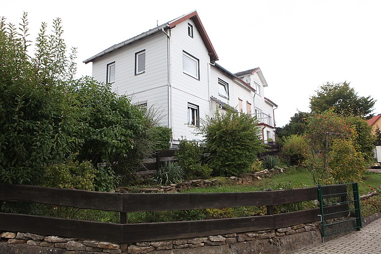
St. Mary (Einberg)
Church

Photo: Störfix, CC BY-SA 3.0 de.
St. Mary (Einberg) is a church, which is situated 1 km southwest of Werner Lieb GmbH & Co. KG.
Cultural heritage D-4-73-159-16 in Rödental
Building

Photo: Störfix, CC BY-SA 3.0.
Cultural heritage D-4-73-159-16 in Rödental is a building, which is situated 1 km north of Werner Lieb GmbH & Co. KG.
Pfarrhaus
Building

Photo: Störfix, CC BY-SA 3.0 de.
Pfarrhaus is a building, which is situated 1 km north of Werner Lieb GmbH & Co. KG.
Places in the Area
Nearby places include Alexandrinenthal and Rothenhof.
Alexandrinenthal
Neighborhood

Photo: Wikimedia, CC BY-SA 3.0 de.
Alexandrinenthal is a neighborhood.

Werner Lieb GmbH & Co. KG
- Type: Building
- Location: Rödental, Landkreis Coburg, Upper Franconia, Franconia, Bavaria, Germany, Central Europe, Europe
- View on OpenStreetMap
Latitude
50.29342° or 50° 17′ 36″ northLongitude
11.05749° or 11° 3′ 27″ eastOpen location code
9F2H73V4+9XOpenStreetMap ID
way 1175605511OpenStreetMap feature
building=yes
This page is based on OpenStreetMap, Wikidata, and Wikimedia Commons.
We’d love your help improving our open data sources. Thank you for contributing.
Satellite Map
Discover Werner Lieb GmbH & Co. KG from above in high-definition satellite imagery.
Notable Places Nearby
Highlights include Mönchröden Lindenstraße Rabersbach and Bolzplatz.
Nearby Places
Explore places such as Werner Lieb GmbH & Co. KG and Aquarienverein.
Upper Franconia: Must-Visit Destinations
Delve into Bamberg, Bayreuth, Coburg, and Hof.
Curious Buildings to Discover
Uncover intriguing buildings from every corner of the globe.
About Mapcarta. Data © OpenStreetMap contributors and available under the Open Database License". Text is available under the CC BY-SA 4.0 license, except for photos, directions, and the map. Photo: Wikimedia, CC0.