Pump Track Mantova
Pump Track Mantova is a pitch in Mantua, Southern Lombardy, Lombardy. Pump Track Mantova is situated nearby to the church Santa Maria del Gradaro, as well as near the park Giardini Lord Robert Baden Powell.| Tap on a place to explore it |
Places of Interest Nearby
Highlights include Santa Maria del Gradaro and Stadio Danilo Martelli.
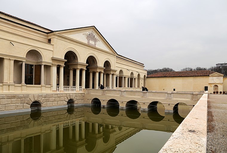
Santa Maria del Gradaro
Church

Photo: Massimo Telò, CC BY-SA 3.0.
Santa Maria del Gradaro is a church, which is situated 230 metres north of Pump Track Mantova.
Stadio Danilo Martelli
Stadium

Photo: Vale93b, CC BY-SA 4.0.
Stadio Danilo Martelli is the main stadium in Mantua, Italy. It is named Danilo Martelli, a Mantuan footballer from the 1940s, who died in the Superga air disaster of 1949. Stadio Danilo Martelli is situated 540 metres west of Pump Track Mantova.
Palazzo del Te
Museum
 Palazzo del Te, or simply Palazzo Te, is a palace in the suburbs of Mantua, Italy. It is an example of the mannerist style of architecture, and the acknowledged masterpiece of Giulio Romano. Palazzo del Te is situated 1¼ km west of Pump Track Mantova.
Places in the Area
Nearby places include Pietole and Grazie.
Pietole
Village

Photo: Cirillo747, CC BY-SA 4.0.
Pietole is a village, which is situated 4 km south of Pump Track Mantova.
Grazie
Village

Photo: Massimo Telò, CC BY-SA 3.0.
Grazie is a village, which is situated 8 km west of Pump Track Mantova.
Romanore
Village

Photo: SIG SG 510, CC0.
Romanore is a village, which is situated 9 km south of Pump Track Mantova.
Pump Track Mantova
- Type: Pitch
- Categories: recreation area and sports location
- Location: Mantua, Province of Mantua, Southern Lombardy, Lombardy, Northwest Italy, Italy, Europe
- View on OpenStreetMap
Latitude
45.14664° or 45° 8′ 48″ northLongitude
10.80091° or 10° 48′ 3″ eastInception
March 31st, 2023Open location code
8FQG4RW2+M9OpenStreetMap ID
way 1177186314OpenStreetMap feature
leisure=pitchOpenStreetMap feature
sport=skateboardOpenStreetMap feature
sport=bmx
This page is based on OpenStreetMap, Wikidata, and Wikimedia Commons.
We’d love your help improving our open data sources. Thank you for contributing.
Satellite Map
Discover Pump Track Mantova from above in high-definition satellite imagery.
Notable Places Nearby
Highlights include Giardini Lord Robert Baden Powell and Teatro Minimo.
Nearby Places
Explore places such as Ristorante Pizzeria ‘La Mamma’ and Ciclofficina Errante.
Southern Lombardy: Must-Visit Destinations
Delve into Cremona, Pavia, Lodi, and Castel Goffredo.
Curious Pitches to Discover
Uncover intriguing pitches from every corner of the globe.
About Mapcarta. Data © OpenStreetMap contributors and available under the Open Database License". Text is available under the CC BY-SA 4.0 license, except for photos, directions, and the map. Photo: Massimo Telò, CC BY-SA 3.0.