Kemps Farm
Kemps Farm is a farm in Adderbury, Cherwell, England. Kemps Farm is situated nearby to the quarter Twyford, as well as near the pub The Plough.| Tap on a place to explore it |
Places of Interest Nearby
Highlights include Adderbury Lakes and Kings Sutton railway station.
Adderbury Lakes
Nature reserve
Adderbury Lakes is a 1.8-hectare Local Nature Reserve in Adderbury in Oxfordshire. Originally part of the grounds of Adderbury House, it is now owned and managed by Adderbury Parish Council.
Kings Sutton railway station
Railway station
Kings Sutton railway station serves the village of King's Sutton and the nearby town of Brackley in Northamptonshire, England. The station is managed by Chiltern Railways, which provides most of the services including from London Paddington and Marylebone to Oxford and Banbury. Kings Sutton railway station is situated 1 mile east of Kemps Farm.
Adderbury Library
Library
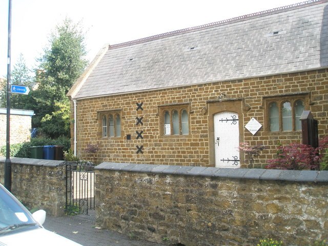
Photo: Basher Eyre, CC BY-SA 2.0.
Adderbury Library is situated 1 mile southwest of Kemps Farm.
Places in the Area
Nearby places include Twyford and Adderbury.
Twyford
Quarter

Photo: Mat Fascione, CC BY-SA 2.0.
Adderbury is a winding linear village and rural civil parish about 3 miles south of Banbury in northern Oxfordshire, England. The settlement has five sections: the new Milton Road housing Development and West Adderbury, towards the southwest; East Adderbury…
Adderbury
Village

Photo: Alan Ford, CC BY-SA 2.0.
Adderbury is a winding linear village and rural civil parish about 3 miles south of Banbury in northern Oxfordshire, England. The settlement has five sections: the new Milton Road housing Development and West Adderbury, towards the southwest; East Adderbury…
King’s Sutton
Village
King's Sutton is a village and civil parish in West Northamptonshire, Northamptonshire, England, in the valley of the River Cherwell. It is sited about 4.1 miles south-east of Banbury, Oxfordshire.
Kemps Farm
- Type: Farm
- Category: agriculture
- Location: Adderbury, Cherwell, Oxfordshire, South East England, England, United Kingdom, Britain and Ireland, Europe
- View on OpenStreetMap
Latitude
52.02507° or 52° 1′ 30″ northLongitude
-1.30131° or 1° 18′ 5″ westOpen location code
9C4W2MGX+2FOpenStreetMap ID
way 1190865209OpenStreetMap feature
landuse=farmyard
This page is based on OpenStreetMap, Wikidata, and Wikimedia Commons.
We’d love your help improving our open data sources. Thank you for contributing.
Satellite Map
Discover Kemps Farm from above in high-definition satellite imagery.
Places with the Same Name
Discover other places named “Kemps Farm”.
Notable Places Nearby
Highlights include The Plough and Twyford Wharf.
Nearby Places
Explore places such as Homestead Farm and Twyford Gardens.
Oxfordshire: Must-Visit Destinations
Delve into Oxford, Abingdon-on-Thames, Banbury, and Woodstock.
Curious Farms to Discover
Uncover intriguing farms from every corner of the globe.
About Mapcarta. Data © OpenStreetMap contributors and available under the Open Database License". Text is available under the CC BY-SA 4.0 license, except for photos, directions, and the map. Photo: Wikimedia, CC0.