Velostazione di Crema
Velostazione di Crema is a bicycle parking in Crema, Province of Cremona, Lombardy. Velostazione di Crema is situated nearby to Piazza Martiri della Libertà, as well as near Crema railway station.| Tap on a place to explore it |
Places of Interest Nearby
Highlights include Crema railway station and Porta Serio.

Porta Serio
City gate

Photo: Cremasco, CC BY-SA 4.0.
Porta Serio is a city gate, which is situated 350 metres south of Velostazione di Crema.
Biblioteca comunale Clara Gallini
Library

Photo: Cremasco, CC BY-SA 4.0.
Biblioteca comunale Clara Gallini is a library, which is situated 480 metres southwest of Velostazione di Crema.
Places in the Area
Nearby places include Le Villette and Castelnuovo.


Santo Stefano in Vairano
Suburb
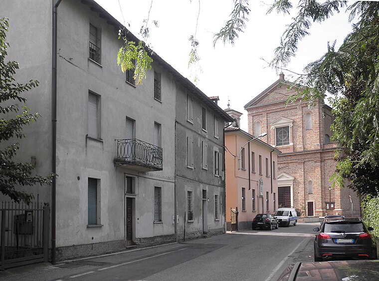
Photo: Arbalete, CC BY-SA 3.0.
Santo Stefano in Vairano is a frazione in Crema, Italy. Located north of the city, along the provincial road to Caravaggio, the railroad runs along it, parallel to the Vacchelli canal.
Velostazione di Crema
- Type: Bicycle parking
- Categories: building and transportation
- Location: Crema, Province of Cremona, Lombardy, Northwest Italy, Italy, Europe
- View on OpenStreetMap
Latitude
45.36639° or 45° 21′ 59″ northLongitude
9.69459° or 9° 41′ 41″ eastOpen location code
8FQF9M8V+HROpenStreetMap ID
way 1192054268OpenStreetMap feature
amenity=bicycle_parkingOpenStreetMap feature
building=yes
This page is based on OpenStreetMap, Wikidata, and Wikimedia Commons.
We’d love your help improving our open data sources. Thank you for contributing.
Satellite Map
Discover Velostazione di Crema from above in high-definition satellite imagery.
Notable Places Nearby
Highlights include Piazza Martiri della Libertà and Crema FS.
Nearby Places
Explore places such as Bar della Stazione and Crema.
Lombardy: Must-Visit Destinations
Delve into Milan, Bergamo, Brescia, and Mantua.
Curious Bicycle Parkings to Discover
Uncover intriguing bicycle parkings from every corner of the globe.
About Mapcarta. Data © OpenStreetMap contributors and available under the Open Database License". Text is available under the CC BY-SA 4.0 license, except for photos, directions, and the map. Photo: ChrisSampson87, CC BY-SA 4.0.