Nastberg
Nastberg is a nature reserve in Andernach, Mayen-Koblenz, Rhineland-Palatinate. Nastberg is situated nearby to the village Eich, as well as near the locality Fuchssprung.| Tap on a place to explore it |
Places of Interest
Highlights include Krayer Hof and Namedy Castle.

Namedy Castle

Photo: Wikimedia, CC BY-SA 3.0.
Namedy Castle is located in the Rhine valley, close to the village of Namedy in Andernach, Germany. Late gothic, moated castle originally belonging to the Husmann Knights of Andernach. Since 1909 in possession of the Rhenish line of the Hohenzollern dynasty.
Andernach Geyser
Geyser

Photo: Jürgen Hamann, CC BY-SA 4.0.
Andernach Geyser is the highest cold-water geyser in the world, reaching heights of 30 to 60 metres. The geyser was first bored in 1903 on the Namedy Peninsula in the Rhine near Andernach.
Places in the Area
Nearby places include Andernach and Nickenich.
Andernach
Town
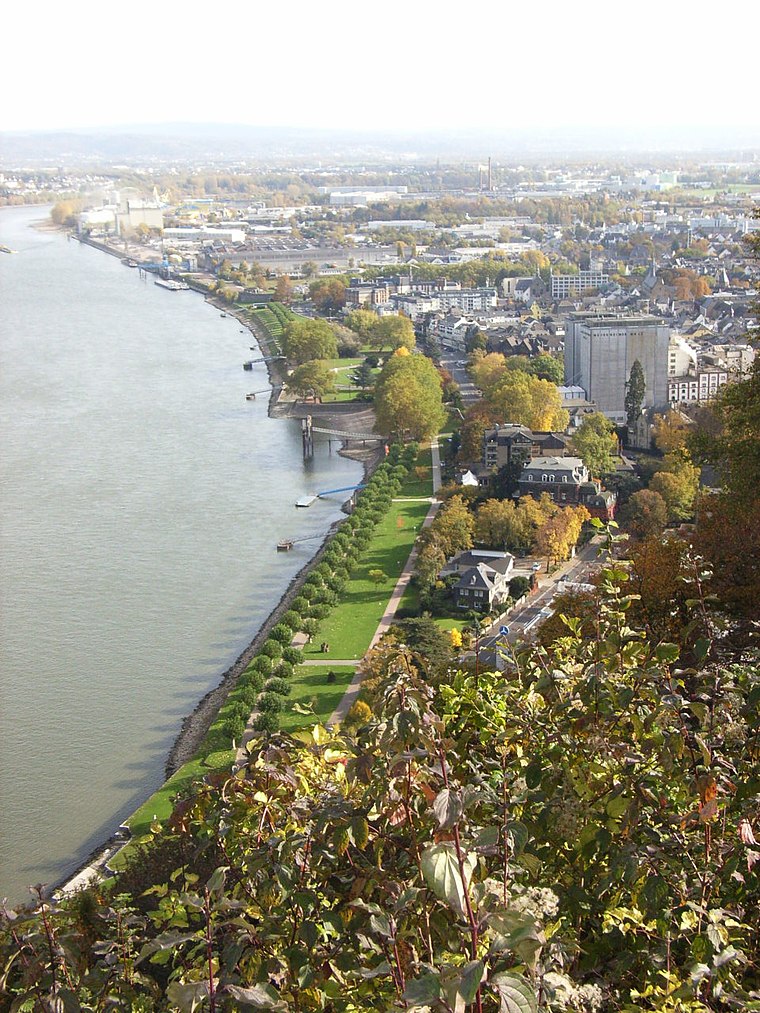
Photo: Maus-Trauden, CC BY-SA 3.0.
Andernach is a town in the district of Mayen-Koblenz, in Rhineland-Palatinate, Germany, of about 30,000 inhabitants. It is situated towards the end of the Neuwied basin on the left bank of the Rhine between the former tiny fishing village of Fornich in the…
Nickenich
Village

Photo: Xocolatl, Public domain.
Nickenich is a municipality in the district of Mayen-Koblenz in Rhineland-Palatinate, western Germany.
Leutesdorf
Village

Photo: Wolkenkratzer, CC BY-SA 3.0.
Leutesdorf is a municipality in the district of Neuwied, in Rhineland-Palatinate, Germany.
Nastberg
- Type: Nature reserve
- Description: nature reserve in Rheinland-Pfalz, Germany
- Categories: Naturschutzgebiet, protected area, and recreation area
- Location: Andernach, Mayen-Koblenz, Rhineland-Palatinate, Germany, Central Europe, Europe
- View on OpenStreetMap
Latitude
50.4287° or 50° 25′ 43″ northLongitude
7.3445° or 7° 20′ 40″ eastOpen location code
9F29C8HV+FROpenStreetMap ID
way 1207706672OpenStreetMap feature
leisure=nature_reserveWikidata ID
Q58122759
This page is based on OpenStreetMap, Wikidata, and Wikimedia Commons.
We’d love your help improving our open data sources. Thank you for contributing.
Satellite Map
Discover Nastberg from above in high-definition satellite imagery.
In Other Languages
From German to Spanish—“Nastberg” goes by many names.
- German: “Nastberg”
- German: “Naturschutzgebiet Nastberg”
- German: “NSG Nastberg”
- Spanish: “Nastberg”
Localities in the Area
Explore places such as Eich and Fuchssprung.
Notable Places Nearby
Highlights include Nast-Berg and Grube Nord.
Rhineland-Palatinate: Must-Visit Destinations
Delve into Mainz, Trier, Koblenz, and Worms.
Curious Nature Reserves to Discover
Uncover intriguing nature reserves from every corner of the globe.
About Mapcarta. Data © OpenStreetMap contributors and available under the Open Database License". Text is available under the CC BY-SA 4.0 license, except for photos, directions, and the map. Photo: Traveler100, CC BY-SA 3.0.