North Marsh Wildlife Pond
North Marsh Wildlife Pond is a pond in Waltham Forest, Greater London, England. North Marsh Wildlife Pond is situated nearby to Friends Bridge, as well as near Waterworks Nature Reserve.| Tap on a place to explore it |
Places of Interest Nearby
Highlights include Lee Valley and Friends Bridge.
Lee Valley
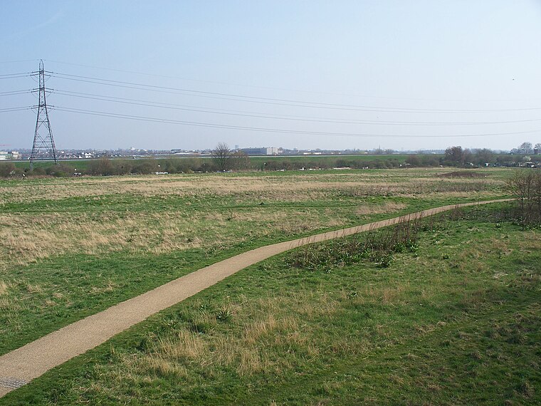
Photo: Iridescent, CC BY-SA 3.0.
The Lee Valley Regional Park is a 26-mile long park in Essex, Hertfordshire and London in England. It has had a special legal status for almost 80 years, set aside "for recreation, sport, entertainment and the enjoyment of leisure".

Lea Bridge railway station
Railway station

Photo: Sunil060902, CC BY-SA 4.0.
Lea Bridge is a railway station on the line between Stratford and Tottenham Hale on the Lea Valley Lines, which reopened on 15 May 2016 with the full service beginning on 16 May 2016, operated by Greater Anglia. Lea Bridge railway station is situated 2,100 feet north of North Marsh Wildlife Pond.
Places in the Area
Nearby places include Homerton and Clapton.
Homerton
Suburb

Photo: Chris Whippet, CC BY-SA 2.0.
Homerton is an area in London, England, in the London Borough of Hackney. It is bordered to the west by Hackney Central, to the north by Lower Clapton, in the east by Hackney Wick, Leyton and by South Hackney to the south.
Clapton
Suburb
Clapton is a district of east London, England, in the London Borough of Hackney. Clapton is divided into Upper Clapton, in the north, and Lower Clapton to the south. Clapton railway station lies 4.7 miles north-east of Charing Cross.

North Marsh Wildlife Pond
- Type: Pond
- Category: body of water
- Location: Waltham Forest, Greater London, England, United Kingdom, Britain and Ireland, Europe
- View on OpenStreetMap
Latitude
51.56094° or 51° 33′ 39″ northLongitude
-0.03747° or 0° 2′ 15″ westOpen location code
9C3XHX67+92OpenStreetMap ID
way 1210333057OpenStreetMap feature
natural=waterOpenStreetMap feature
water=pond
This page is based on OpenStreetMap, Wikidata, and Wikimedia Commons.
We’d love your help improving our open data sources. Thank you for contributing.
Satellite Map
Discover North Marsh Wildlife Pond from above in high-definition satellite imagery.
Notable Places Nearby
Highlights include Waterworks Nature Reserve and Middlesex Filter Beds Nature Reserve.
Nearby Places
Explore places such as Intervention and How the filter beds worked.
England: Must-Visit Destinations
Delve into London, Manchester, Sheffield, and Leeds.
Curious Ponds to Discover
Uncover intriguing ponds from every corner of the globe.
About Mapcarta. Data © OpenStreetMap contributors and available under the Open Database License". Text is available under the CC BY-SA 4.0 license, except for photos, directions, and the map. Photo: sidibousaid, CC BY 2.0.