Centro Sportivo Boblingen
Centro Sportivo Boblingen is a sports venue in Alba, Province of Cuneo, Piedmont. Centro Sportivo Boblingen is situated nearby to the park Area Verde Giovanni Goria, as well as near the bridge Passerella Ferrero.| Tap on a place to explore it |
Places of Interest Nearby
Highlights include Alba railway station and Alba Cathedral.
Alba railway station
Railway station
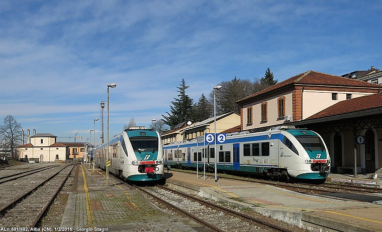
Photo: Wikimedia, CC BY-SA 3.0.
Alba railway station serves the town and comune of Alba, in the Piedmont region of northwestern Italy. Alba railway station is situated 630 metres northeast of Centro Sportivo Boblingen.
Alba Cathedral
Church

Photo: AlessioMela, CC BY-SA 4.0.
Alba Cathedral is a Roman Catholic cathedral in Alba, province of Cuneo, Piedmont, Italy, dedicated to Saint Lawrence. It is the episcopal seat of the Diocese of Alba. Alba Cathedral is situated 1¼ km northeast of Centro Sportivo Boblingen.
Palazzo Marro

Photo: BelPatty86, CC BY-SA 4.0.
Palazzo Marro is situated 1 km northeast of Centro Sportivo Boblingen.
Places in the Area
Nearby places include Neive and La Morra.
Neive

Photo: Massimo Telò, CC BY-SA 4.0.
Neive is a town of 3,300 people in Piedmont, Italy. It is included among the "most beautiful villages in Italy" and has been awarded the orange flag by the Italian Touring Club.
La Morra

Photo: Helge Høifødt, CC BY-SA 3.0.
La Morra is a comune in the Province of Cuneo in the Italian region Piedmont, located about 50 kilometres southeast of Turin and about 40 kilometres northeast of Cuneo.
Centro Sportivo Boblingen
- Type: Sports venue
- Categories: recreation area and sports location
- Location: Alba, Province of Cuneo, Langhe, Piedmont, Northwest Italy, Italy, Europe
- View on OpenStreetMap
Latitude
44.69556° or 44° 41′ 44″ northLongitude
8.02336° or 8° 1′ 24″ eastOpen location code
8FPCM2WF+68OpenStreetMap ID
way 1218491294OpenStreetMap feature
leisure=sports_centreOpenStreetMap feature
sport=soccerOpenStreetMap feature
sport=tennisOpenStreetMap feature
sport=volleyball
This page is based on OpenStreetMap, Wikidata, and Wikimedia Commons.
We’d love your help improving our open data sources. Thank you for contributing.
Satellite Map
Discover Centro Sportivo Boblingen from above in high-definition satellite imagery.
Notable Places Nearby
Highlights include Area Verde Giovanni Goria and Passerella Ferrero.
Nearby Places
Explore places such as Village and Croce Rossa Italiana.
Curious Sports Venues to Discover
Uncover intriguing sports venues from every corner of the globe.
About Mapcarta. Data © OpenStreetMap contributors and available under the Open Database License". Text is available under the CC BY-SA 4.0 license, except for photos, directions, and the map. Photo: Wikimedia, CC BY-SA 4.0.