Qua Fen Common
Qua Fen Common is a grassland in Soham, East Cambridgeshire, England. Qua Fen Common is situated nearby to Soham United Football Club, as well as near the church Salvation Army Hall.| Tap on a place to explore it |
Places of Interest Nearby
Highlights include Soham railway station and Baptist Chapel.
Soham railway station
Railway station
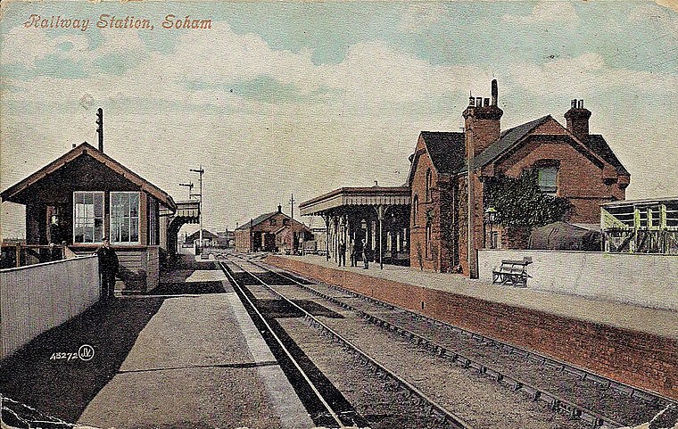
Photo: Wikimedia, Public domain.
Soham railway station is a station on the Ipswich–Ely line, serving the town of Soham in Cambridgeshire. The original station operated between 1879 and 1965. It was reopened in 2021. Soham railway station is situated 4,100 feet southwest of Qua Fen Common.
Baptist Chapel
Church

Photo: Hugh Venables, CC BY-SA 2.0.
Baptist Chapel is a church, which is situated 1 mile south of Qua Fen Common.
The Fountain Public House
Pub

Photo: Bill Boaden, CC BY-SA 2.0.
The Fountain Public House is situated 3,500 feet south of Qua Fen Common.
Places in the Area
Nearby places include Soham and Wicken.
Soham
Town

Photo: Wikimedia, CC BY-SA 2.0.
Soham is a town and civil parish in the district of East Cambridgeshire, in Cambridgeshire, England, just off the A142 between Ely and Newmarket. Its population was 12,336 at the 2021 census.
Wicken
Village

Photo: Bob Jones, CC BY-SA 2.0.
Wicken is a village near Soham in East Cambridgeshire, England. The village is on the edge of The Fens, 10 miles north east of Cambridge and 5 miles south of Ely. It is the site of Wicken Fen National Nature Reserve. Wicken is situated 2½ miles southwest of Qua Fen Common.
Fordham
Village

Photo: Bob Jones, CC BY-SA 2.0.
Fordham is a village in rural Cambridgeshire, England. Fordham is part of the East Cambridgeshire district. It is four miles north of Newmarket, as well as being close to the settlements of Soham, Burwell, Isleham, Mildenhall and Chippenham. Fordham is situated 3 miles southeast of Qua Fen Common.
Qua Fen Common
- Type: Grassland
- Location: Soham, East Cambridgeshire, Cambridgeshire, England, United Kingdom, Britain and Ireland, Europe
- View on OpenStreetMap
Latitude
52.34375° or 52° 20′ 38″ northLongitude
0.33946° or 0° 20′ 22″ eastOpen location code
9F4288VQ+FQOpenStreetMap ID
way 1255667955OpenStreetMap feature
natural=grassland
This page is based on OpenStreetMap, Wikidata, and Wikimedia Commons.
We’d love your help improving our open data sources. Thank you for contributing.
Satellite Map
Discover Qua Fen Common from above in high-definition satellite imagery.
Notable Places Nearby
Highlights include Qua Fen Common and Soham United Football Club.
Nearby Places
Explore places such as Bushel Lane Park Homes and Holmes Lane.
England: Must-Visit Destinations
Delve into London, Manchester, Sheffield, and Leeds.
Curious Grasslands to Discover
Uncover intriguing grasslands from every corner of the globe.
About Mapcarta. Data © OpenStreetMap contributors and available under the Open Database License". Text is available under the CC BY-SA 4.0 license, except for photos, directions, and the map. Photo: sidibousaid, CC BY 2.0.