Parco Alda Merini
Parco Alda Merini is a park in Limido Comasco, Province of Como, Lombardy. Parco Alda Merini is situated nearby to the town hall Municipio di Limido Comasco, as well as near the community center Oratorio.| Tap on a place to explore it |
Places of Interest Nearby
Highlights include Mozzate and Visconti-Castelbarco Castle.
Mozzate
Town hall

Photo: Yiyi, CC BY-SA 4.0.
Mozzate is a comune in the southwestern part of the province of Como, Lombardy, northern Italy. It has an area of 10.36 square kilometres and 7,505 inhabitants. Mozzate is situated 2½ km southwest of Parco Alda Merini.
Visconti-Castelbarco Castle
Castle

Photo: Wikimedia, CC BY-SA 3.0.
The Visconti-Castelbarco Castle is a castle of medieval origin located in Cislago, Lombardy, Northern Italy. It belonged to a cadet branch of the Visconti House since the 13th century and became the property of the Castelbarco family in the 18th century. Visconti-Castelbarco Castle is situated 3 km south of Parco Alda Merini.
Saint George Church
Church

Photo: M-Car, CC BY-SA 3.0.
Saint George Church is situated 2 km north of Parco Alda Merini.
Places in the Area
Nearby places include Fenegrò and Massina.
Fenegrò
Village

Photo: Giancarlo.nicoli, CC BY-SA 4.0.
Fenegrò is a comune in the Province of Como in the Italian region Lombardy, located about 30 kilometres northwest of Milan and about 14 kilometres southwest of Como.
Massina
Village
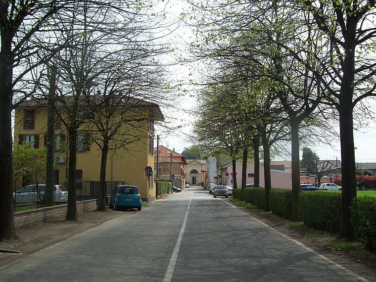
Photo: Adelchi, CC BY-SA 3.0.
Massina is a village, which is situated 4½ km south of Parco Alda Merini.
Guanzate
Village

Photo: Ottantafame, CC BY-SA 4.0.
Guanzate is a comune in the Province of Como in the Italian region Lombardy, located about 30 kilometres northwest of Milan and about 11 kilometres southwest of Como. Guanzate is situated 5 km northeast of Parco Alda Merini.
Parco Alda Merini
- Type: Park
- Category: recreation area
- Location: Limido Comasco, Province of Como, Lombardy, Northwest Italy, Italy, Europe
- View on OpenStreetMap
Latitude
45.68541° or 45° 41′ 8″ northLongitude
8.98325° or 8° 58′ 60″ eastOpen location code
8FQCMXPM+58OpenStreetMap ID
way 1275961838OpenStreetMap feature
leisure=park
This page is based on OpenStreetMap, Wikidata, and Wikimedia Commons.
We’d love your help improving our open data sources. Thank you for contributing.
Satellite Map
Discover Parco Alda Merini from above in high-definition satellite imagery.
Notable Places Nearby
Highlights include Municipio di Limido Comasco and Oratorio.
Nearby Places
Explore places such as Serendipity bar and Scuola dell’infanzia Don Lorenzo Milani.
Lombardy: Must-Visit Destinations
Delve into Milan, Bergamo, Brescia, and Mantua.
Curious Parks to Discover
Uncover intriguing parks from every corner of the globe.
About Mapcarta. Data © OpenStreetMap contributors and available under the Open Database License". Text is available under the CC BY-SA 4.0 license, except for photos, directions, and the map. Photo: Wiki rkit, CC BY-SA 4.0.