Falkirk Pharmacy
Falkirk Pharmacy is a pharmacy in Falkirk, Scotland which is located on Grahams Road. Falkirk Pharmacy is situated nearby to the historic site Grahamston Iron Works, as well as near the pitch Grahamston Bowling Club.| Tap on a place to explore it |
- Type: Pharmacy
- Address: 96-98 Grahams Road, Falkirk, FK2 7DL
- Wheelchair access: yes
Places of Interest Nearby
Highlights include Falkirk Grahamston railway station and Falkirk Public Library.
Falkirk Grahamston railway station
Railway station

Photo: Nigel Thompson, CC BY-SA 2.0.
Falkirk Grahamston railway station is one of two railway stations serving the town of Falkirk in Scotland. It is located on the Edinburgh to Dunblane Line and also the Cumbernauld Line. Falkirk Grahamston railway station is situated 1,300 feet south of Falkirk Pharmacy.
Falkirk Public Library
Library
Falkirk Public Library is a public library in Falkirk, Scotland. It is administered by Falkirk Council. Local author Alan Bissett credits the library for giving him his passion for writing. Falkirk Public Library is situated 1,800 feet southwest of Falkirk Pharmacy.
Falkirk Steeple

Photo: Kevin Rae, CC BY-SA 2.0.
The Falkirk Steeple is a municipal building on the High Street in Falkirk in Scotland. The building, which accommodates a heritage centre, is a Category A listed building. Falkirk Steeple is situated 2,500 feet south of Falkirk Pharmacy.
Places in the Area
Nearby places include Bainsford and Woodlands.
Bainsford
Suburb

Photo: David Kitching, CC BY-SA 2.0.
Bainsford is a small village within the Falkirk council area of Scotland. The village is situated in the Forth Valley, 1 mile north of the town of Falkirk.
Woodlands
Suburb
Woodlands is a large, prosperous central area of Falkirk, Stirlingshire, Scotland, which is mainly residential. Much of the ward is taken up by leafy streets where property prices are among the highest in Central Scotland and includes Lochgreen, Slamannan, Rosebank, Gartcows and Southern Pleasance areas.
Carron
Village
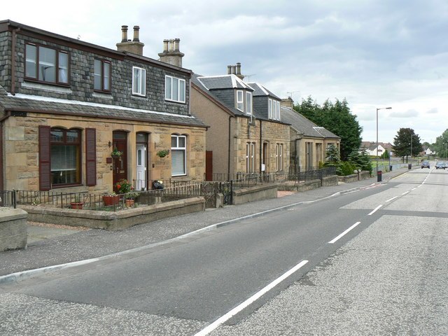
Photo: James Allan, CC BY-SA 2.0.
Carron is a village in the Falkirk council area of Scotland. It is in the Forth Valley, about 2 miles north of Falkirk, 3 miles north-west of Grangemouth and 1⁄2 mile southeast of Stenhousemuir.
Falkirk Pharmacy
- Categories: health care, building, and retail building
- Location: Falkirk, Scotland, United Kingdom, Britain and Ireland, Europe
- View on OpenStreetMap
Latitude
56.006° or 56° 0′ 22″ northLongitude
-3.78477° or 3° 47′ 5″ westOpen location code
9C8R2648+C3OpenStreetMap ID
way 128795753OpenStreetMap feature
amenity=pharmacyOpenStreetMap feature
building=retailOpenStreetMap feature
healthcare=pharmacyOpenStreetMap attribute
wheelchair=yes
This page is based on OpenStreetMap, Wikidata, and Wikimedia Commons.
We’d love your help improving our open data sources. Thank you for contributing.
Satellite Map
Discover Falkirk Pharmacy from above in high-definition satellite imagery.
Notable Places Nearby
Highlights include Grahamston Iron Works and Grahamston Bowling Club.
Nearby Places
Explore places such as Divergent Games Escape Rooms and Graeme Medical Centre.
Scotland: Must-Visit Destinations
Delve into Edinburgh, Glasgow, Aberdeen, and Dundee.
Curious Pharmacies to Discover
Uncover intriguing pharmacies from every corner of the globe.
About Mapcarta. Data © OpenStreetMap contributors and available under the Open Database License". Text is available under the CC BY-SA 4.0 license, except for photos, directions, and the map. Photo: AlasdairW, CC BY-SA 3.0.