Mihi Junction Reserve
Mihi Junction Reserve is a park in City of Ipswich, Queensland. Mihi Junction Reserve is situated nearby to Vi Jordan Park, as well as near the pitch Oval.| Tap on a place to explore it |
Places of Interest Nearby
Highlights include Queensland Museum Rail Workshops and North Ipswich Railway Workshops.
Queensland Museum Rail Workshops
Museum

Photo: Dbromage, CC BY-SA 3.0.
The Queensland Museum Rail Workshops is a railway museum in Ipswich, Queensland, located within the former North Ipswich Railway Workshops and tells the story of more than 150 years of railways in Queensland. Queensland Museum Rail Workshops is situated 720 metres southeast of Mihi Junction Reserve.
North Ipswich Railway Workshops
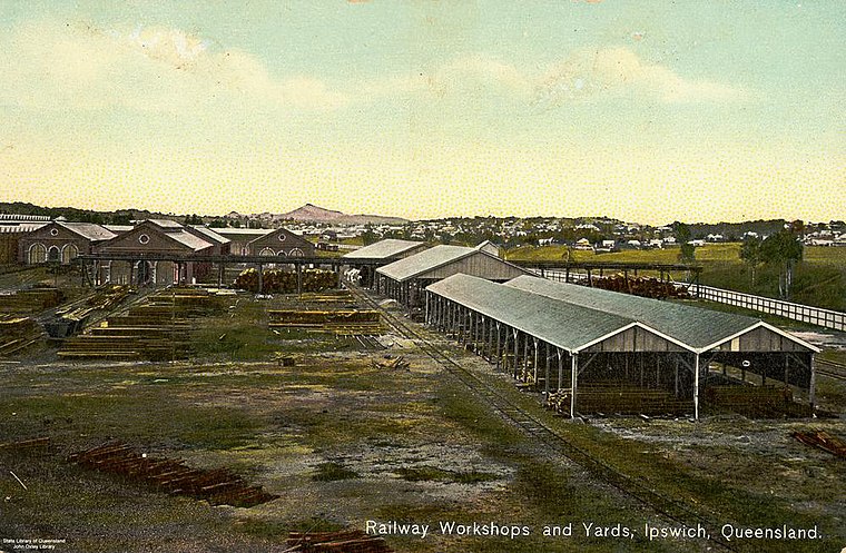
Photo: Wikimedia, Public domain.
North Ipswich Railway Workshops is a heritage-listed current Australian railway workshop at North Street, North Ipswich, Queensland. It was built from 1878 to 1980s. North Ipswich Railway Workshops is situated 690 metres southeast of Mihi Junction Reserve.
Ipswich Railway Workshops War Memorial
Memorial
 Ipswich Railway Workshops War Memorial is a heritage-listed memorial at the North Ipswich Railway Workshops, North Street, North Ipswich, City of Ipswich, Queensland, Australia. Ipswich Railway Workshops War Memorial is situated 750 metres southeast of Mihi Junction Reserve.
Places in the Area
Nearby places include Woodend and Sadliers Crossing.
Woodend
Suburb
Woodend is an inner suburb of Ipswich in the City of Ipswich, Queensland, Australia. In the 2021 census, Woodend had a population of 1,483 people.
Sadliers Crossing
Suburb
Sadliers Crossing is a suburb of Ipswich in the City of Ipswich, Queensland, Australia. In the 2021 census, Sadliers Crossing had a population of 1,358 people.
Ipswich

Photo: Ché Lydia Xyang, CC BY-SA 3.0.
Ipswich is the westernmost city of the Greater Brisbane region in South East Queensland, 44 km west of the City of Brisbane. It had a population of 232,000 in 2021.
Mihi Junction Reserve
- Type: Park
- Category: recreation area
- Location: City of Ipswich, Queensland, Australia, Oceania
- View on OpenStreetMap
Latitude
-27.59347° or 27° 35′ 37″ southLongitude
152.7535° or 152° 45′ 13″ eastOperator
Ipswich City CouncilOpen location code
5R4JCQ43+JCOpenStreetMap ID
way 1294649851OpenStreetMap feature
leisure=park
This page is based on OpenStreetMap, Wikidata, and Wikimedia Commons.
We’d love your help improving our open data sources. Thank you for contributing.
Satellite Map
Discover Mihi Junction Reserve from above in high-definition satellite imagery.
Notable Places Nearby
Highlights include Vi Jordan Park and Oval.
Nearby Places
Explore places such as Mihi Junction and St Josephs Catholic.
Queensland: Must-Visit Destinations
Delve into Brisbane, Gold Coast, Sunshine Coast, and Cairns.
Curious Parks to Discover
Uncover intriguing parks from every corner of the globe.
About Mapcarta. Data © OpenStreetMap contributors and available under the Open Database License". Text is available under the CC BY-SA 4.0 license, except for photos, directions, and the map. Photo: Wikimedia, CC0.